Coordinate crews, damage assessors, and the storm room without ever leaving the map — live TAK crew awareness, mission tasking, and multi-user GeoPackage editing, all running over your local network when backhaul is down.
Real-time position tracking and status updates for connected TAK teams — see who is on site and route the closest crew to the next outage.
Map-referenced field messaging and task assignments transmitted directly over Cursor-on-Target networks to ATAK/WinTAK clients.
Organize restoration tasks, area assignments, and operational packages on an integrated map-linked coordination surface.
Concurrent field and storm-room updates to shared damage-assessment and asset datasets via the local FeatureServer.
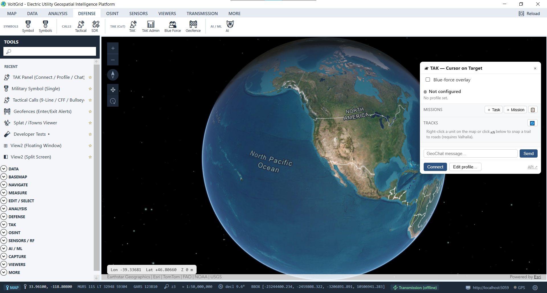
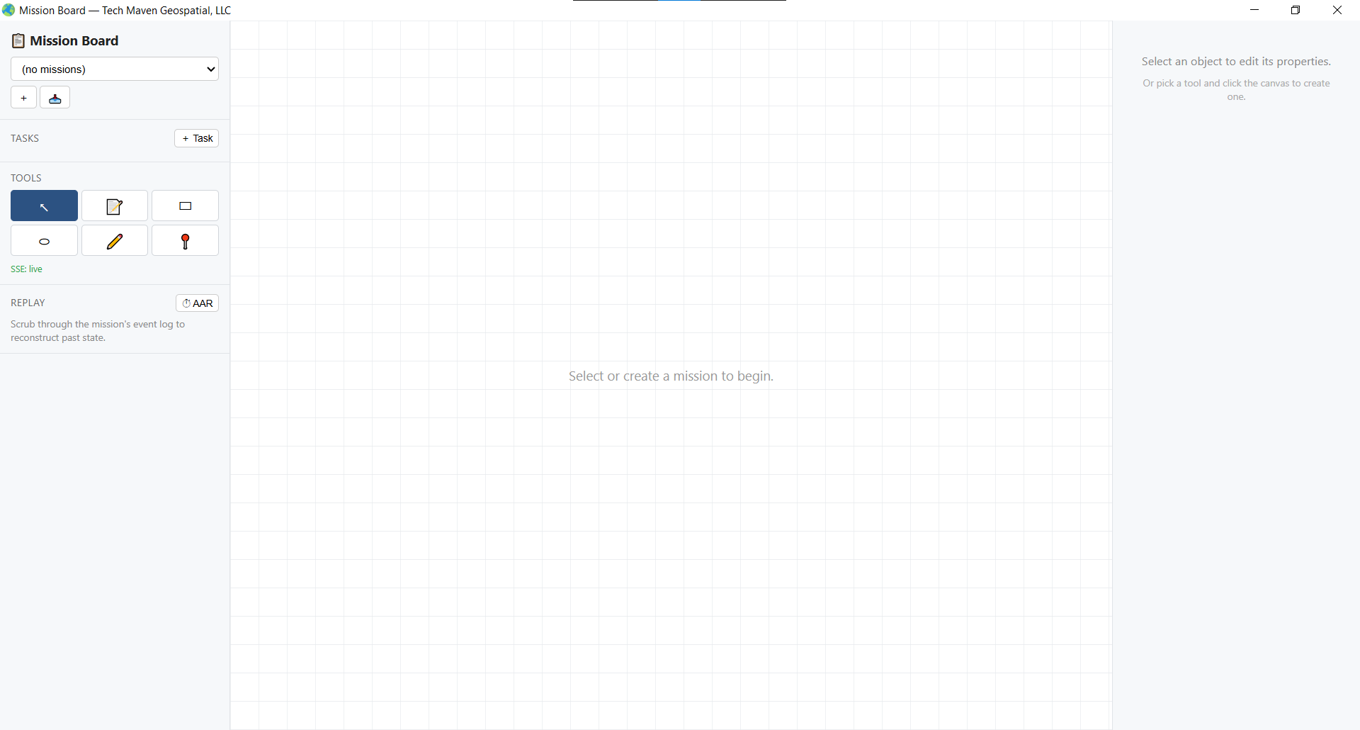
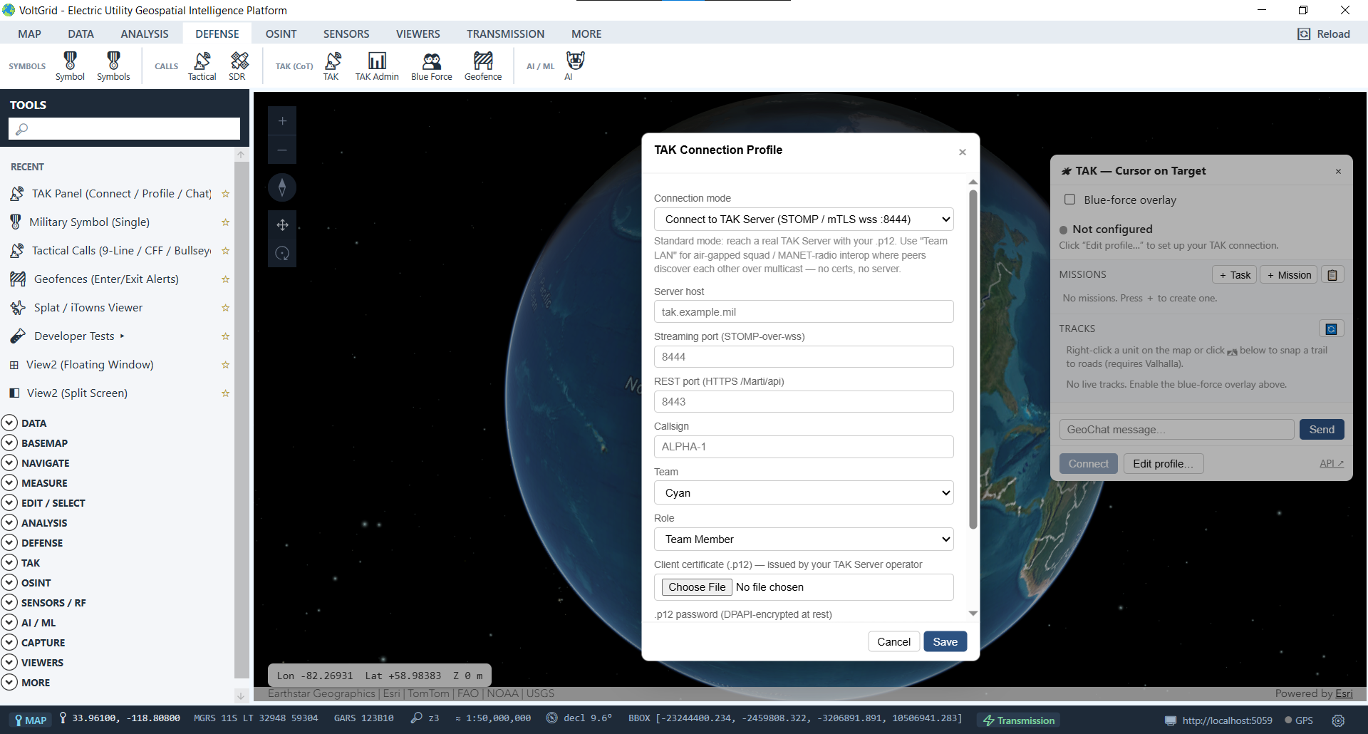
Every collaboration channel runs over the in-process local server — crew positions, task assignments, and spatial edits never leave the network you control, and nothing depends on internet connectivity a storm can take down.
Damage assessors push live findings and geotagged records; the storm room aggregates every stream into one restoration picture — a picture that pairs naturally with the asset records your utility manages in GRID State.
Engineering, vegetation management, and emergency ops share their layers and edits in real time via the local FeatureServer.
