VoltGrid buffers your PLS-CADD conductor geometry into a corridor polygon — default 30 m half-width, yours to change — and intersects it with the parcels, buildings, and roads already loaded in the data hub. Every hit is graded by intersection area, highlighted on the map, and optionally written to the Transmission findings layer.
No new survey required: the conductor lines come from your PLS-CADD import (with KMZ geometry), the candidate layer is anything FeatureServer-backed — a parcels GeoPackage, a buildings extract, a DuckDB table, or a live connector. Ribbon → TRANSMISSION → FINDINGS → ROW.
source_analysis=row-encroachment into the same Transmission findings FeatureServer as vegetation and as-built deltas.POST /api/row/analyze
{
"conductorDbId": "plscadd_7f2a",
"candidateDbId": "parcels",
"candidateCollId": "0",
"bufferMeters": 30,
"writeFindings": true
}
→ parcel 118-40-021 1,240 m² critical
→ barn (bldg 3311) 210 m² major
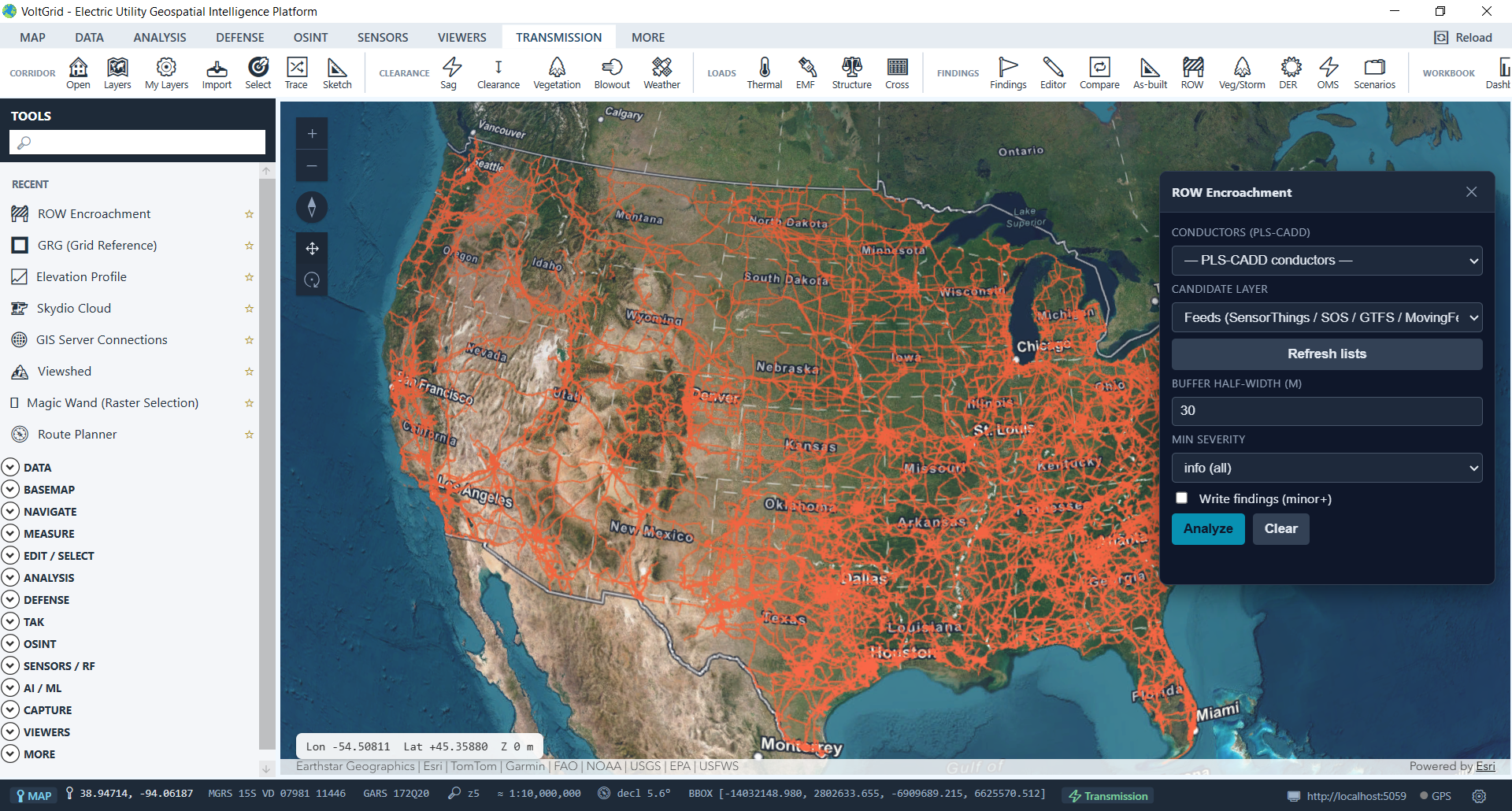
New sheds, additions, and stacked materials inside the corridor surface as ranked findings — before the annual patrol does.
Run it beside ΔNDVI corridor change detection: man-made encroachment and vegetation encroachment in one findings queue.
Area-quantified, severity-graded intersections make the easement conversation concrete — exportable with the rest of your findings.
Honest boundary: requires PLS-CADD imported with KMZ so conductor geometry exists (XML-only has no lines). Findings persist as point centroids; live Overture buildings pull and span-level attribution are roadmap — not shipped.
