VoltGrid works both sides of your utility's GIS wire: it consumes the ArcGIS Portal, Server, and Online services, GeoServer, QGIS Server, and MapServer instances you already run as layer sources — and it emulates Esri endpoints locally from an embedded local server, so QGIS, ArcGIS Pro, and any ArcGIS SDK client in the utility can consume your desktop as if it were enterprise GIS infrastructure.
The in-process server exposes ESRI-compatible REST APIs over your local data — feeder GeoPackages become FeatureServers, corridor COGs become ImageServers, substation SLPKs become SceneServers, live sources become a StreamServer — with no enterprise server farm and no external process.
// local data, Esri dialects
GET  /api/featureserver/{ds}/{layer}/query   → FeatureServer
POST /api/featureserver/{ds}/{layer}/applyEdits
GET  /ImageServer/exportImage?renderingRule= → ImageServer
GET  /api/slpk/packages/{id}/SceneServer
     /layers/0                               → I3S SceneServer
WS   /api/streamserver/subscribe             → StreamServer
GET  /api/tiles/{layerId}/{z}/{x}/{y}        → converted TPKX/VTPK
GET  /api/connect                            → Connect-to-GIS catalog

● serving  clients QGIS · ArcGIS Pro · JS SDK  · in-process
Each emulation runs natively inside the embedded server — no separate web server or cloud dependency required.
ESRI FeatureServer REST over GeoPackage with full CRUD, offline edit queuing and sync, conflict-resolution strategies, change tracking, and geometry conversion across ESRI JSON, GeoJSON, WKT, WKB, and GPKG blobs. Drives the native Editor and Sketch widgets directly.
ESRI ImageServer REST over COG GeoTIFF: exportImage with renderingRule raster functions, 20+ spectral indices (NDVI, NDWI, EVI, NBR), auto sensor detection for Sentinel-2 and Landsat, and VRT mosaics/time-series from multiple COGs. An ElevationServer facade serves registered DEMs to ArcGIS elevation sources.
ESRI-compatible streaming matching ArcGIS Velocity/GeoEvent conventions: WebSocket and SSE transports, temporal queries and playback, real-time analytics, and multi-source aggregation over MQTT-ingested Meshtastic tracks, TAK, RTK/GNSS, and radio feeds — consumable by a stock StreamLayer.
Upload a .slpk and the embedded server answers standard I3S REST — node pages, geometries, textures, attributes — straight from the archive. I3S 1.6 / 1.7 / 1.8 supported; IntegratedMesh, 3DObject, and Point layer types render in the SceneView.
ESRI Tile Packages convert to MBTiles or GeoPackage via a native Compact Cache V2 bundle reader, then serve as XYZ tiles with extracted vector styles — a verified 417-tile raster package converts in about 160 ms.
Cloud Optimized GeoTIFFs stream to ImageryTileLayer over HTTP range requests (206 / Content-Range) — reference multi-GB rasters in place on disk, no conversion, no copy.
Server emulation reflects the implemented endpoint surface documented for each facade; "100% ESRI compatible" refers to the documented FeatureServer/StreamServer request contracts consumed by native ArcGIS SDK widgets, not certification by Esri.
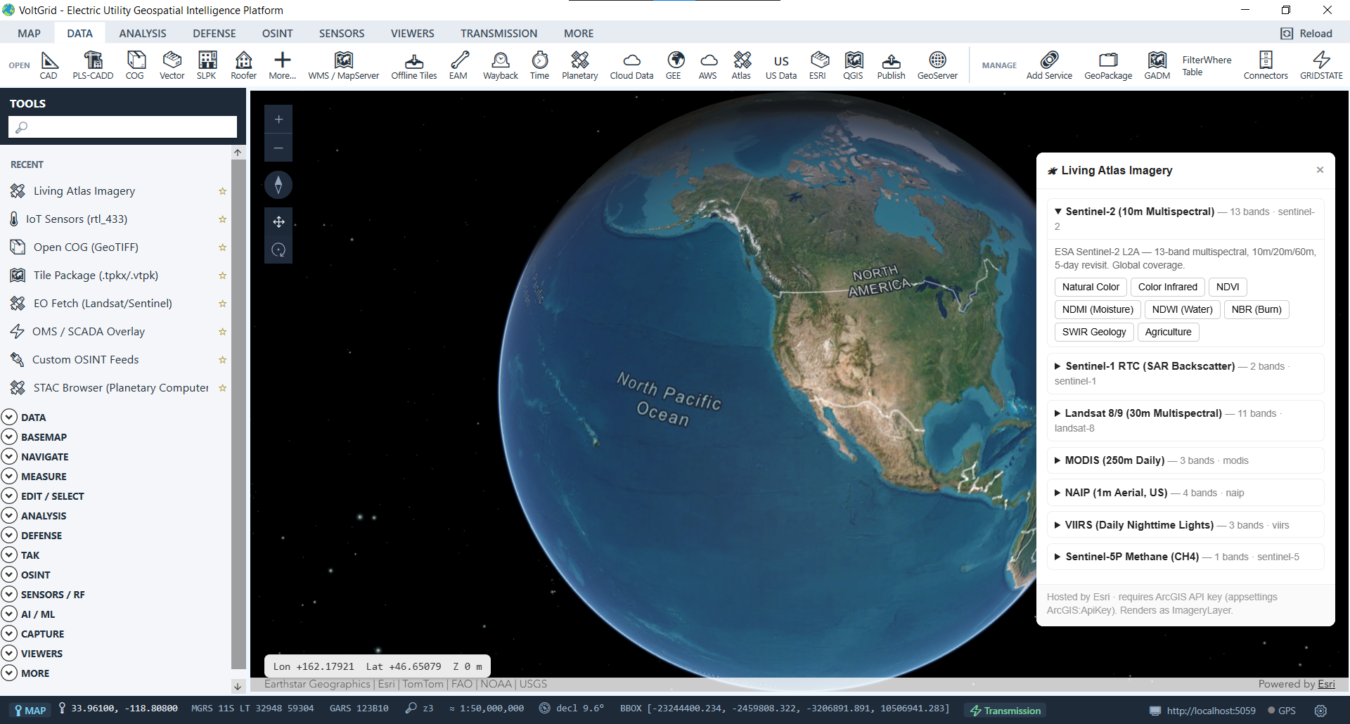
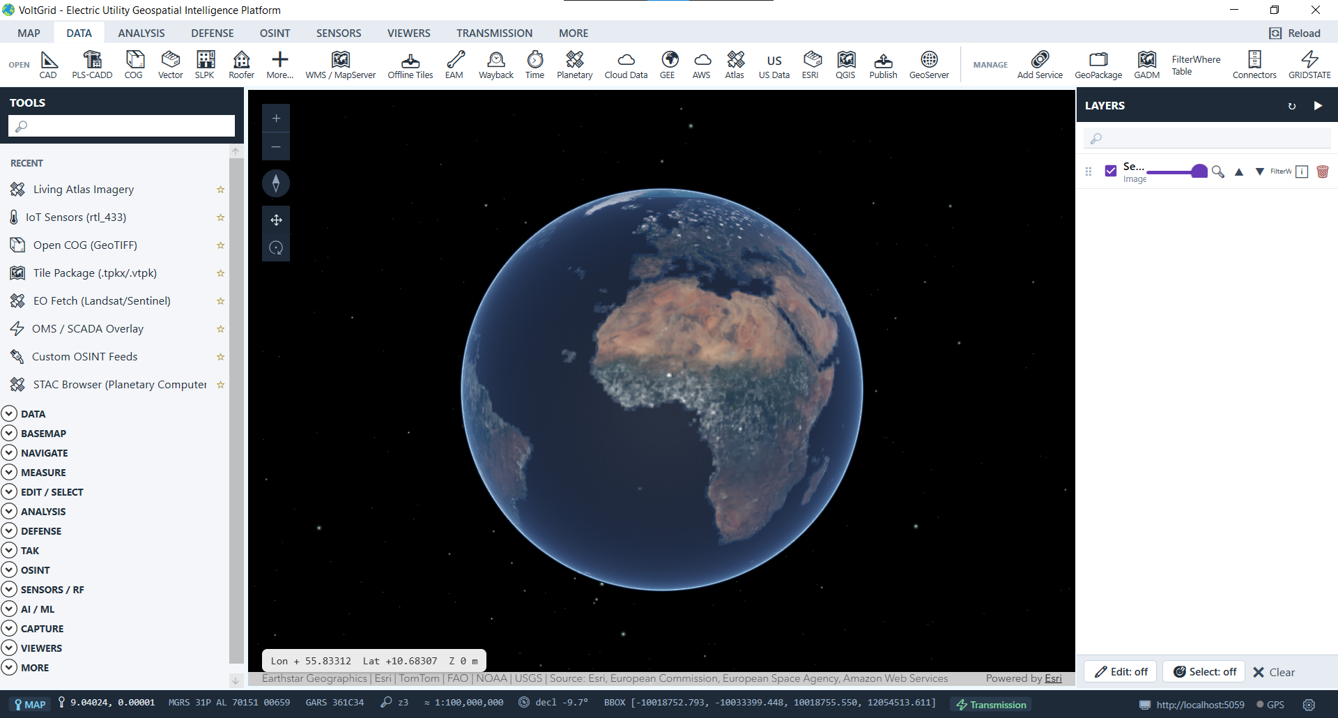
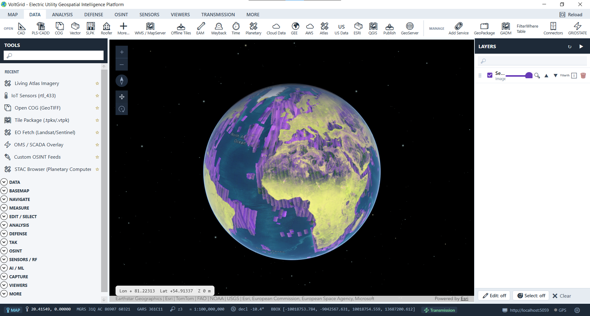
Register your feeder GeoPackages, corridor COGs, substation SLPKs, and live feeds, hand teammates the Connect-to-GIS URL, and every desktop GIS in the utility gains an Esri-speaking data source.
