One OGC-standard SQLite file carries your utility data — pole inventories, feeder maps, inspection records — and VoltGrid gives it a full workbench: design tables and schemas, import five vector formats, edit features (with real Z elevations) through native ArcGIS Editor widgets, read ESRI mobile geodatabases alongside, and export clean GeoJSON or CSV. All offline, all on your disk — ready for air-gapped OT networks and storm ops alike.
The GeoPackage Manager treats a .gpkg as what it is — a portable spatial database you can author, not just a file you receive.
.gpkg, .geojson, .shp, .fgb, and .parquet.// GPKG served as an ESRI FeatureServer — Z-aware GET /api/featureserver/{ds} → service metadata GET /api/featureserver/{ds}/{layer} → schema (hasZ/hasM) GET /api/featureserver/{ds}/{layer}/query?returnZ=true POST /api/featureserver/{ds}/{layer}/applyEdits { adds, updates, deletes, rollbackOnFailure } // ESRI mobile geodatabase, read offline GET /api/geodatabase/packages/{gdb}/{table}/query?f=geojson ● round-trip z 1500.5 → blob → 1500.5 · exact
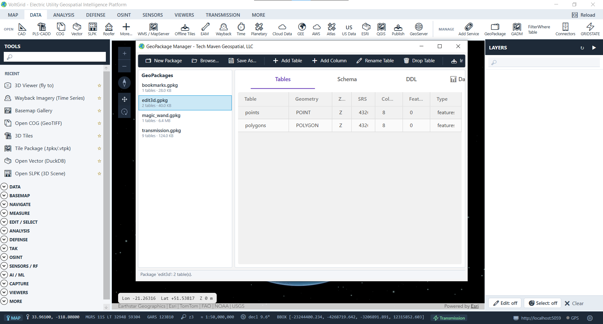
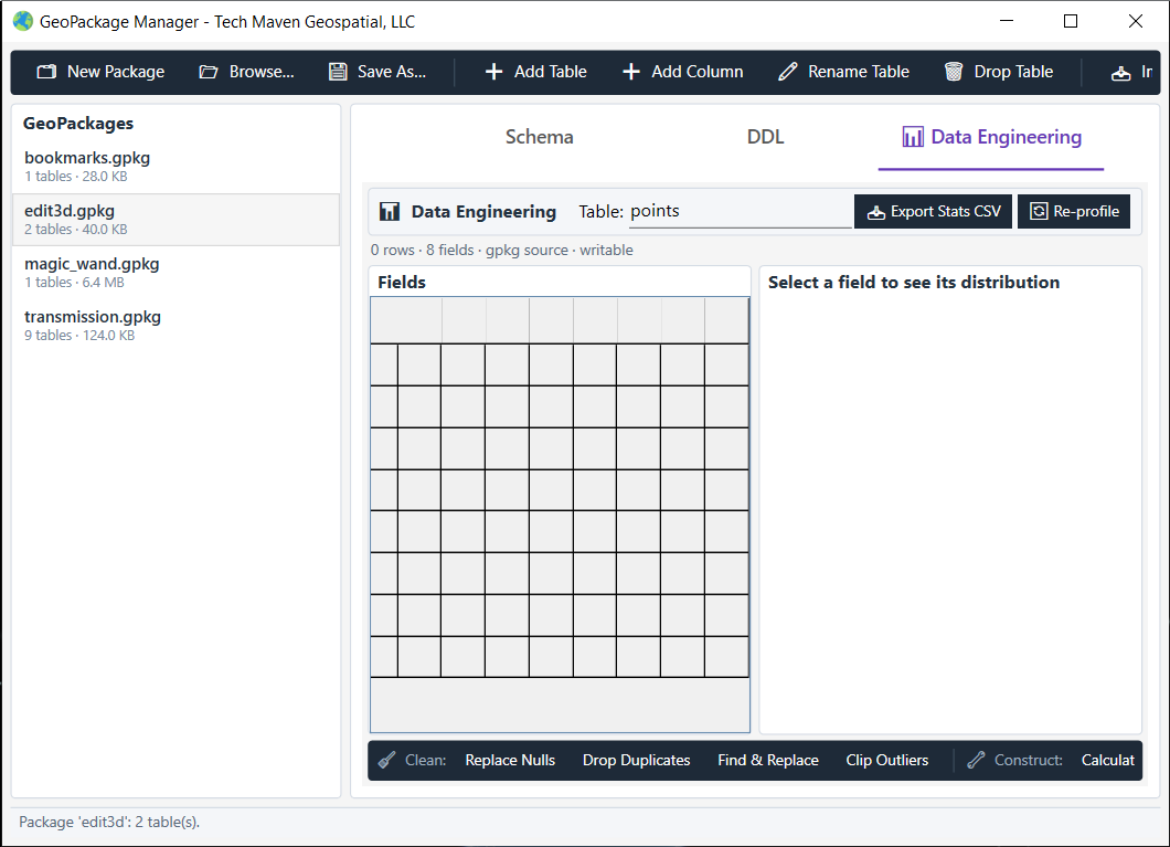
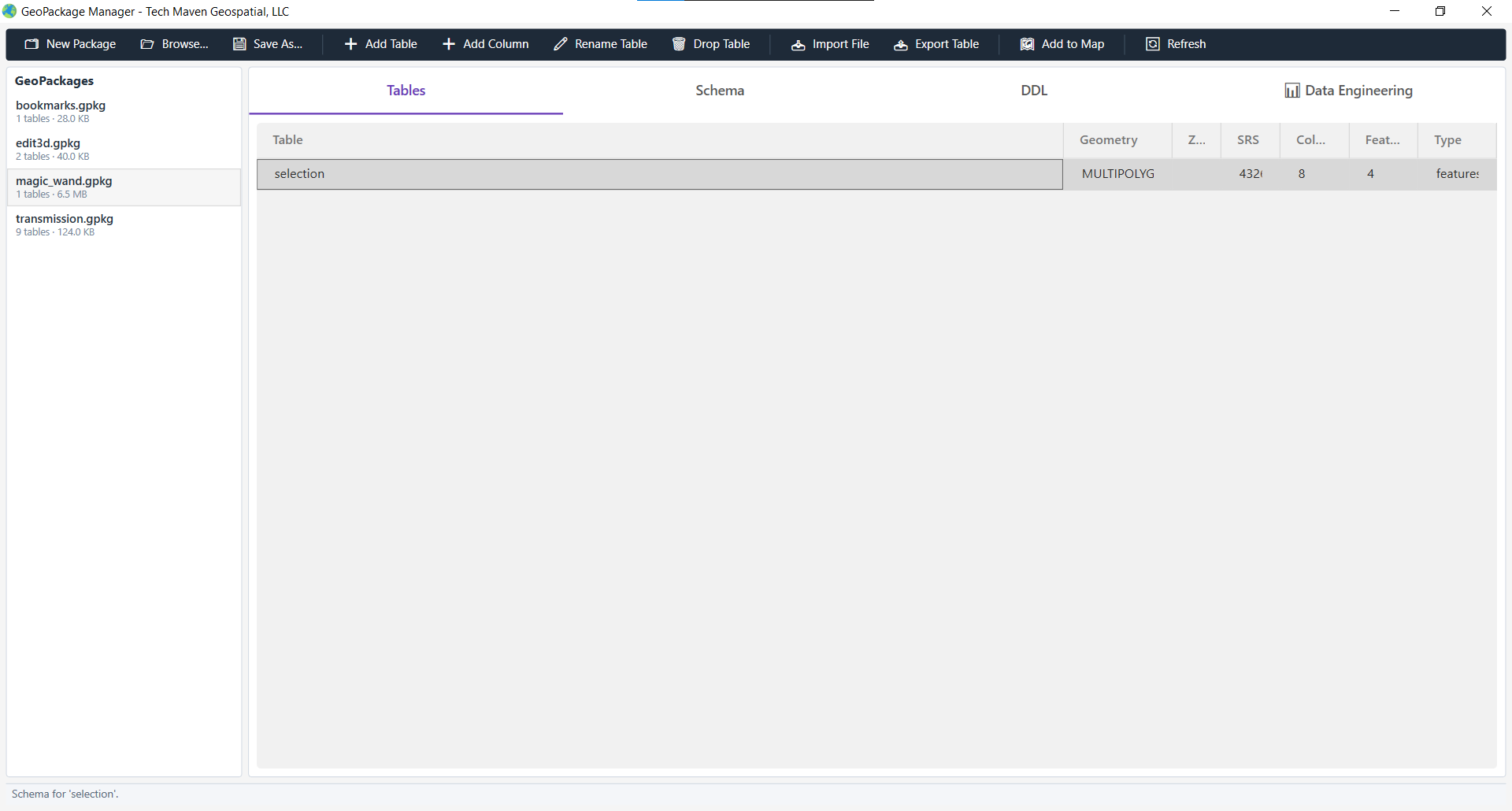
magic_wand.gpkg layer inspected in the manager showing live MULTIPOLYGON feature recordsThe embedded local server serves your GeoPackage as an ESRI-compatible FeatureServer with full Z + M ordinate round-tripping — so the native ArcGIS Editor widget edits 3D features directly in the SceneView.
ESRI JSON ↔ NTS geometry ↔ standard OGC GPKG blobs with full Z and M ordinates. Verified round trip: a 3D point at z = 1500.5 survives the full pipeline bit-exact.
hasZ / hasM are read from gpkg_geometry_columns — not hardcoded — and honored via a returnZ query parameter, so 2D and 3D layers coexist in one file.
A Z-aware FeatureLayer with elevationInfo: absolute-height mounts the stock Editor widget for create/update/delete workflows — each vertex renders at its stored elevation above the ellipsoid.
A Z-enabled edit3d.gpkg (POINT Z points, POLYGON Z polygons) is seeded on first run, so the Editor has working 3D layers before you import a thing.
Adds, updates, and deletes post as one batch with rollback-on-failure — plus offline edit queuing, change tracking, and conflict-resolution strategies for disconnected field work.
Vertical editing, extrusion, elevation snapping, and the full 3D pipeline get their own page — see the 3D GPKG Editor.
Field crews hand you .geodatabase files and Mobile Map Packages. VoltGrid reads them fully offline — no network, no infrastructure.
stgeometry_sqlite.dll into RFC 7946 GeoJSON, ESRI FeatureSet, or spec-clean OGC WKB.GET /api/geodatabase/selftest round-trips point, line, and polygon before you trust it with real data.# reference a survey geodatabase in place — no copy curl -X POST /api/geodatabase/reference \ -d '{ "path": "C:\\data\\MySurvey.geodatabase" }' # query a feature class as GeoJSON, reprojected to 4326 GET /api/geodatabase/packages/mysurvey/Parcels /query?f=geojson&resultRecordCount=100 ● read-only source never mutated · offline
Mobile geodatabase access is read-only by design; tile and raster content inside an .mmpk is handled by the Tile Package converter rather than this reader. FeatureServer editing applies to GeoPackage sources.
Author the schema, import the asset data, edit in 3D, and export the products — without your GeoPackage ever leaving the machine.
