Asset layers in geodatabases, as-builts in CAD, corridor scans in LiDAR, tiles from the state GIS office — if your data has coordinates, VoltGrid can read it, convert it, edit it, and serve it, fully offline. From legacy ESRI to modern cloud-native formats.
The native editing store for pole, conductor, and substation features — full Z + M support, OGC 12-128r12 blobs, served as an ESRI FeatureServer.
RFC 7946 output alongside ESRI FeatureSet and spec-clean OGC WKB.
Reads mobile geodatabases (.geodatabase) and Mobile Map Packages (.mmpk) fully offline via the bundled stgeometry_sqlite.dll — the packages your field crews already carry.
The classics of utility data exchange — read, render, and convert without ceremony.
ESRI .tpkx (raster) and .vtpk (vector) → MBTiles / GeoPackage, parsing ESRI Compact Cache V2 natively.
PMTiles, FlatGeobuf, GeoParquet, and Cloud-Optimized GeoTIFF out of the box.
Postgres/PostGIS, MySQL, SQLite, SQL Server, BigQuery, and Google Sheets — the databases your utility already runs, spatial tables auto-served as MVT, OGC Features, and FeatureServer. Details →
DWG, DXF, and DGN as-builts imported and georeferenced onto the map — served as GeoJSON, MBTiles-vector, or GeoPackage. Details →
S3, Azure Blob, and Google Cloud Storage via rclone.
DuckDB, SQLite/MBTiles, and SpatiaLite for fast spatial SQL over asset and inspection data.
GeoTIFF/COG, DTED 0/1/2, SRTM .hgt, and ESRI FLT/ASC grids — resampled on demand and served as quantized-mesh, heightmap PNG, and LERC elevation. Details →
Any SharePoint list — inspection trackers, work logs — materialized into DuckDB and served as an editable FeatureServer layer, with writes flowing back via Microsoft Graph. Details →
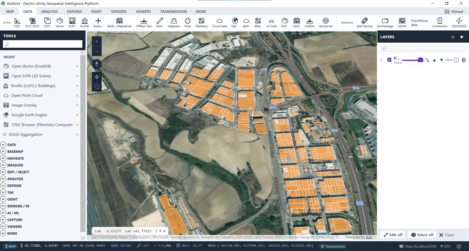
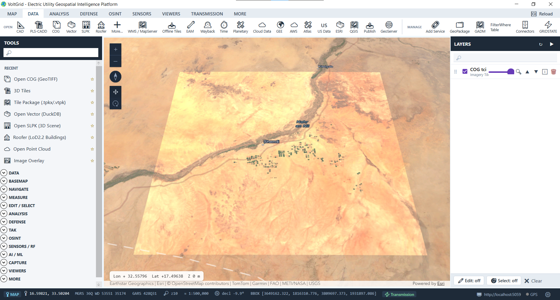
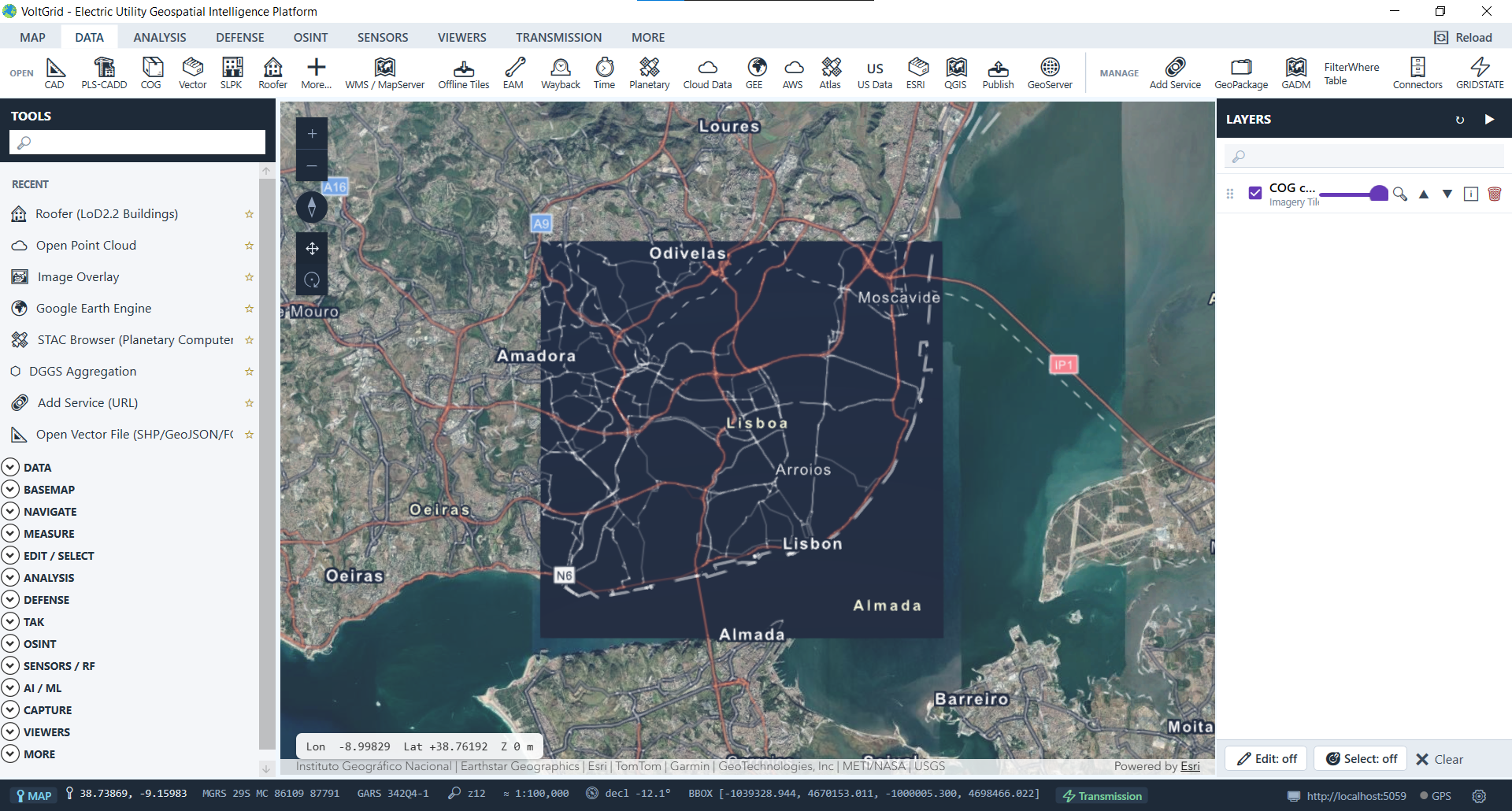
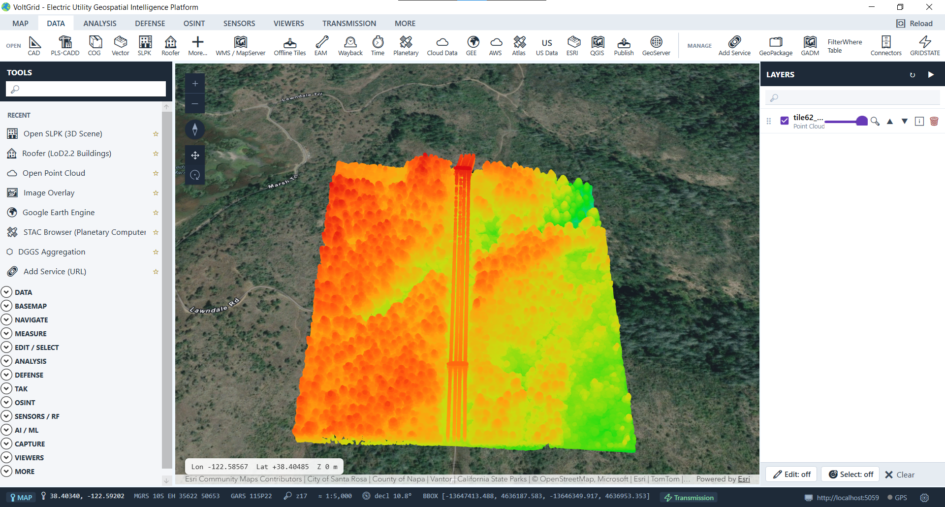
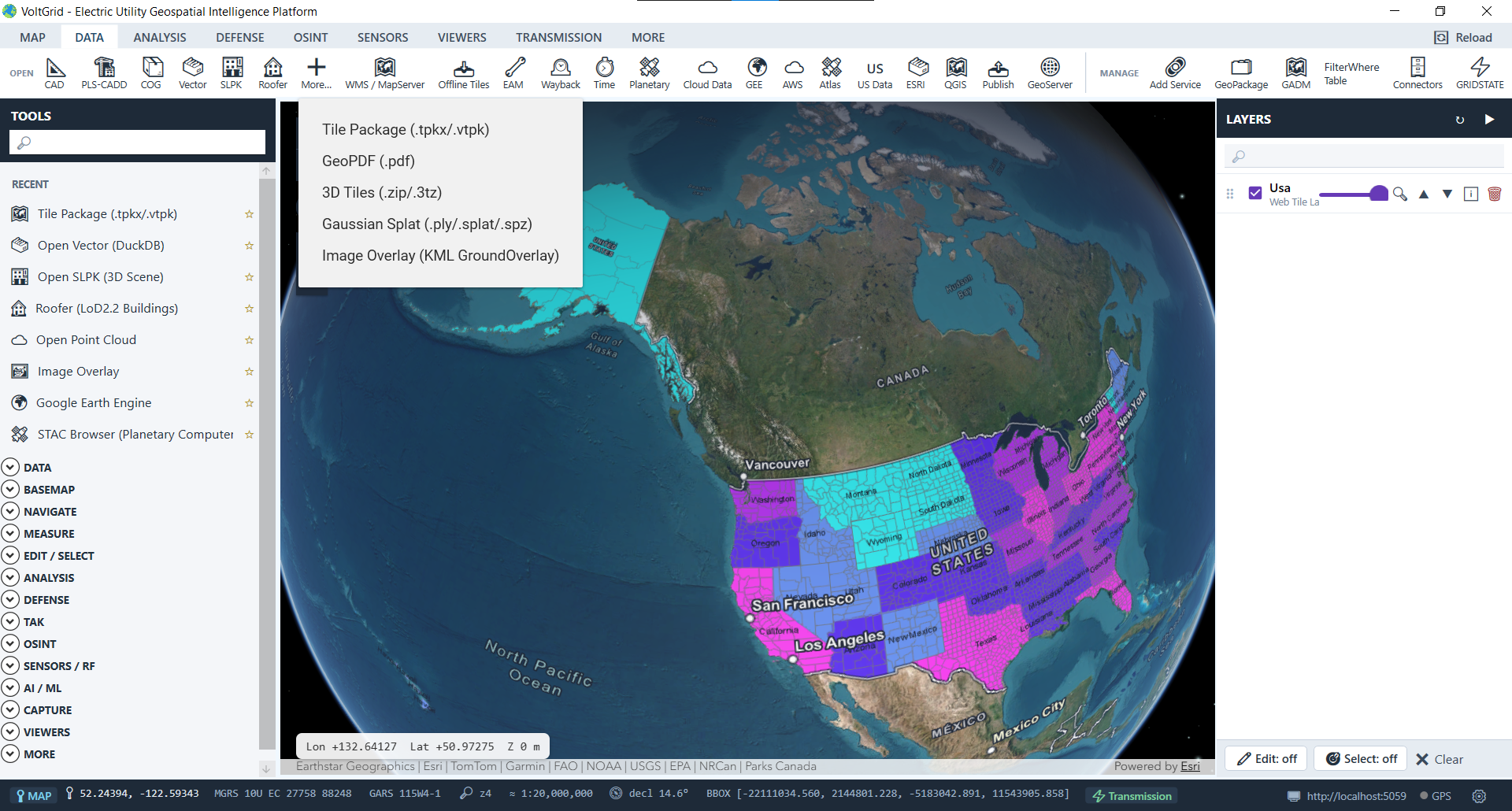
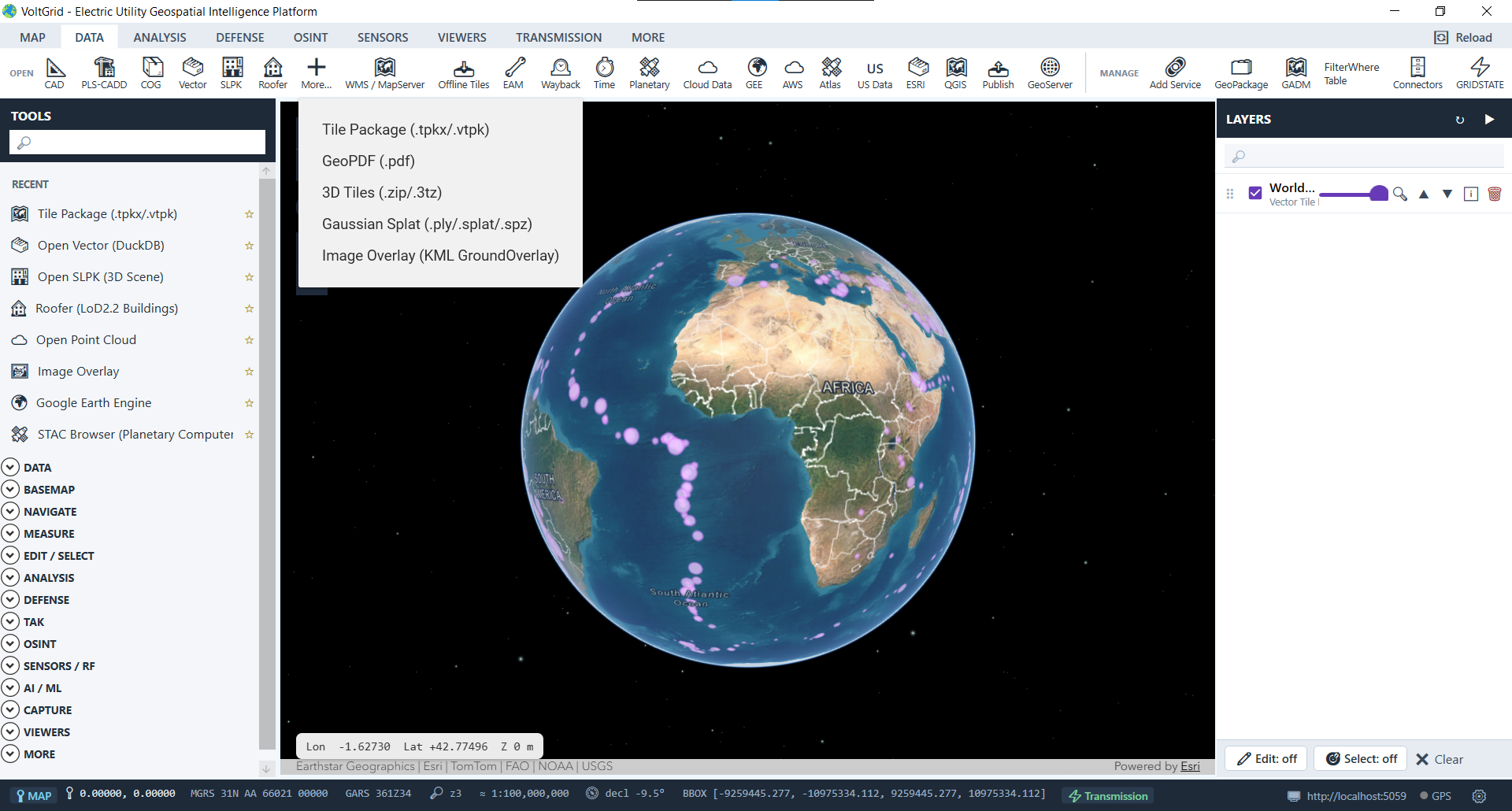
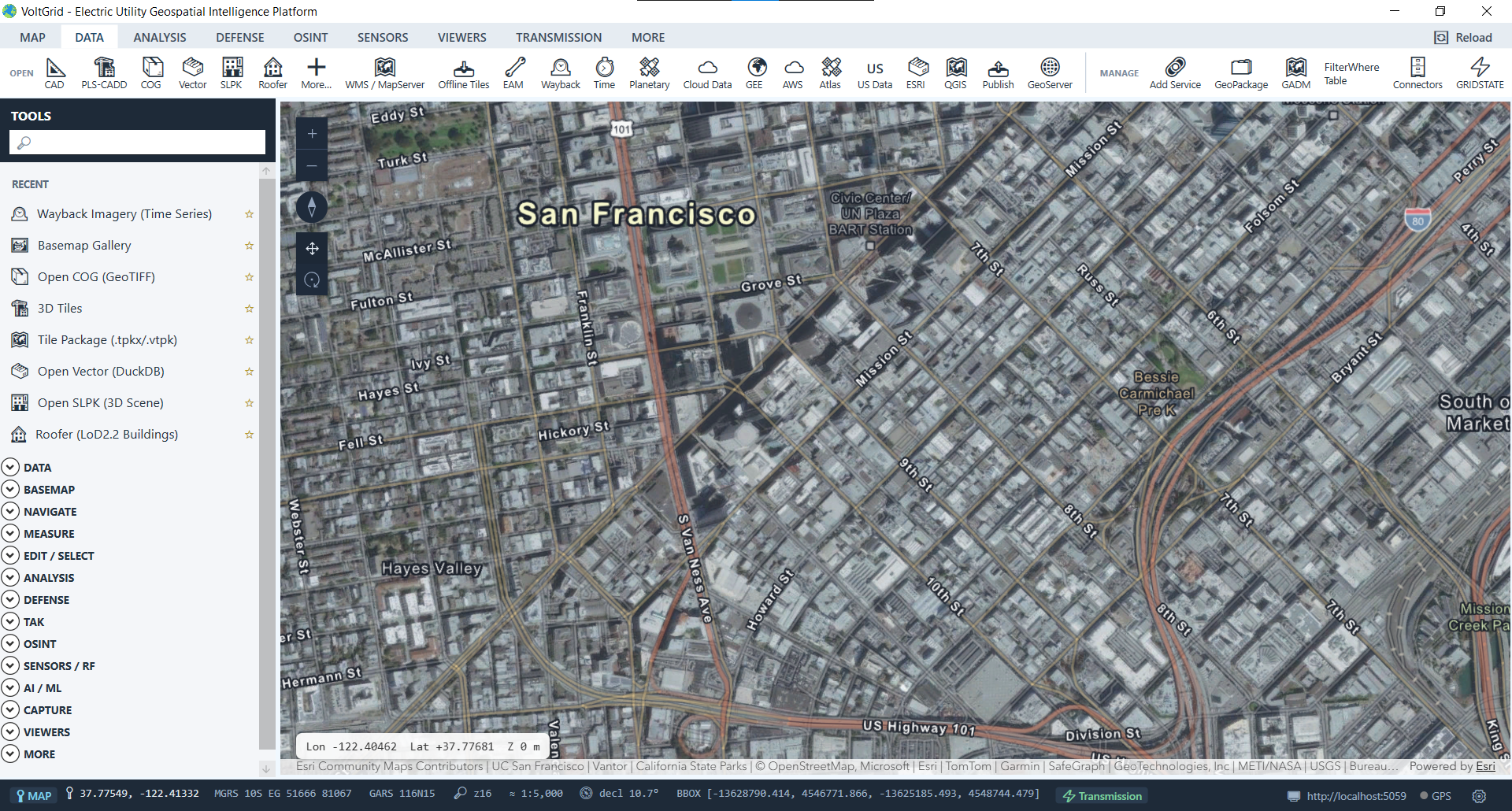
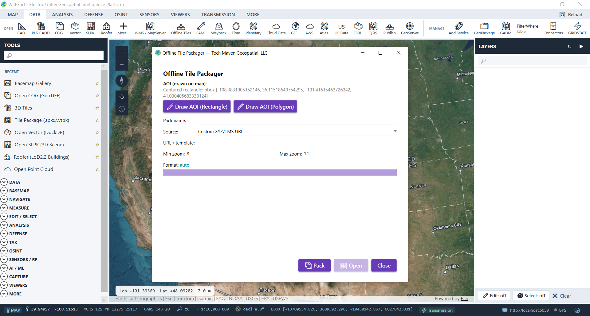
Stop choosing tools based on which file the contractor, the consultant, or the county handed you. Convert between the major packaging formats at speed — and serve the result immediately, next to the operational records your utility keeps in GRID State.
.tpkx → MBTiles in ~160ms for ~417 tiles..vtpk → MBTiles-vector / GeoPackage.// one desktop, every format .tpkx → MBTiles ~160ms .vtpk → GeoPackage vector .geodb → GeoJSON offline GeoTIFF→ COG stream no copy LAS/LAZ→ I3S SLPK LEPCC
