Build a living substation and asset inventory: scan the yard in 3D from a point cloud or SLPK scene layer, drape engineering BIM (IFC) models on the real footprint, auto-reconstruct adjacent buildings at LoD2.2, and pin geotagged inspection photos to the structures that need them. Every layer is editable through the native Editor widget and served to every GIS client across the LAN.
LiDAR LAS / LAZ / COPC point clouds render as PointCloudLayer with classification filtering, RGB / elevation / intensity rendering, and offline slicing for the field.
Drop an ArcGIS .slpk (built SceneServer) onto the map as a SceneLayer — substation 3D mesh, building interiors, or photogrammetry captures. No ArcGIS Enterprise required.
Import .ifc BIM models with discipline classification (architectural / structural / electrical / mechanical) via the in-process converter — drape the engineering model on its real-world footprint.
Auto-reconstruct adjacent buildings at CityGML LoD2.2 from a point cloud + 2D roofprint via the bundled roofer sidecar. Output renders as Mesh graphics on the map.
Serve OGC 3D Tiles and Cloud-Optimized GeoTIFF to Cesium, Unreal, Unity, and Godot — no Cesium ion or ArcGIS Online dependency.
Drop a folder of EXIF-tagged inspection photos; each becomes a clickable pin with a thumbnail popup showing the full image + GPS, bearing, altitude, timestamp, and camera make/model.
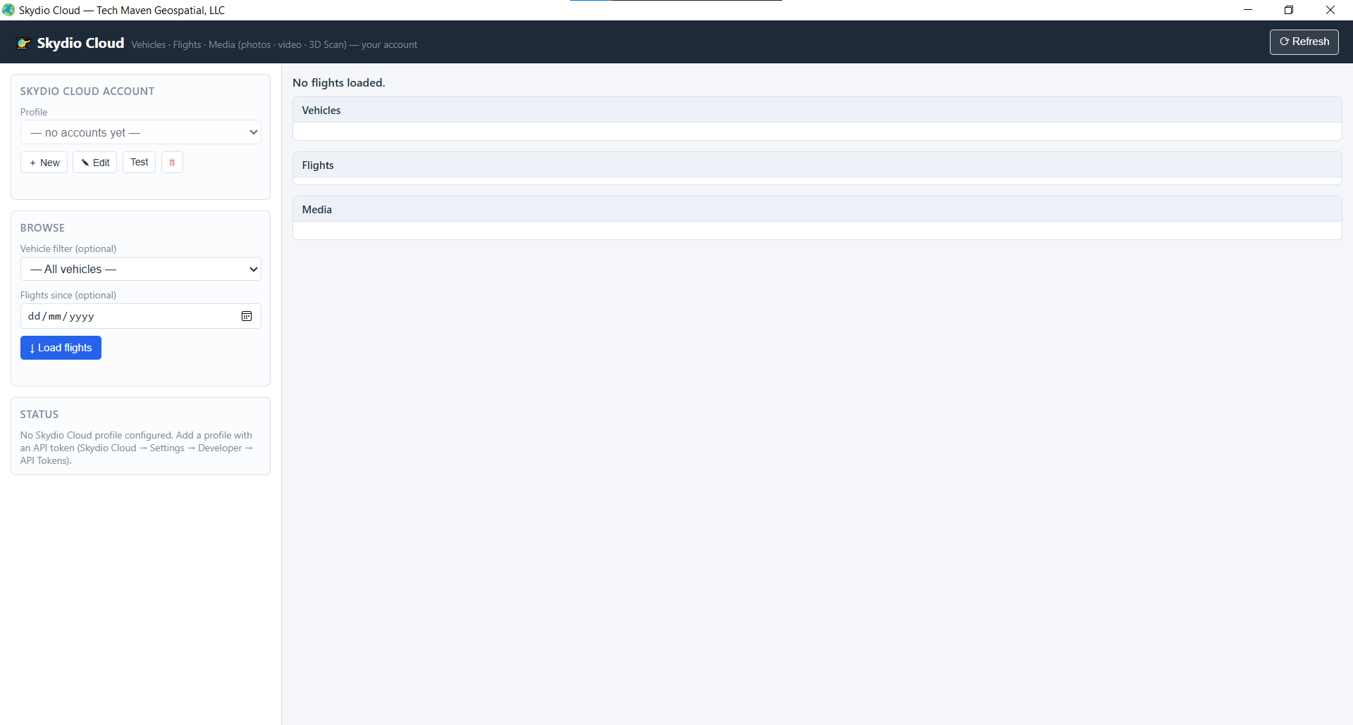
An inspection workflow that closes the loop without bouncing between four tools. Drone / phone / total-station captures land in VoltGrid; the asset inventory updates; findings route to the Transmission Line Analyzer or to GRID State for work-order dispatch.
| Capture source | Path | Becomes |
|---|---|---|
| Drone flight (Skydio + others) | /api/skydio/* | Live vehicle track + captured photos / video |
| Phone / camera photos | /api/photos/reference | EXIF GPS pins with thumbnail + full-image popups |
| Drone FMV video | /api/fmv/* | Geo-locked video player with metadata frame track |
| LiDAR scan | /api/pointcloud/* | PointCloudLayer with classification + elevation render |
| Substation SLPK | /api/slpk/* | Built SceneServer → SceneLayer |
| Structure / asset finding | Editor widget + /api/featureserver/* | Editable feature → work order or mission task |
Substation assets, corridor structures, and inspection captures all in the same scene — ready to feed the Transmission Line Analyzer or GRID State operations.
