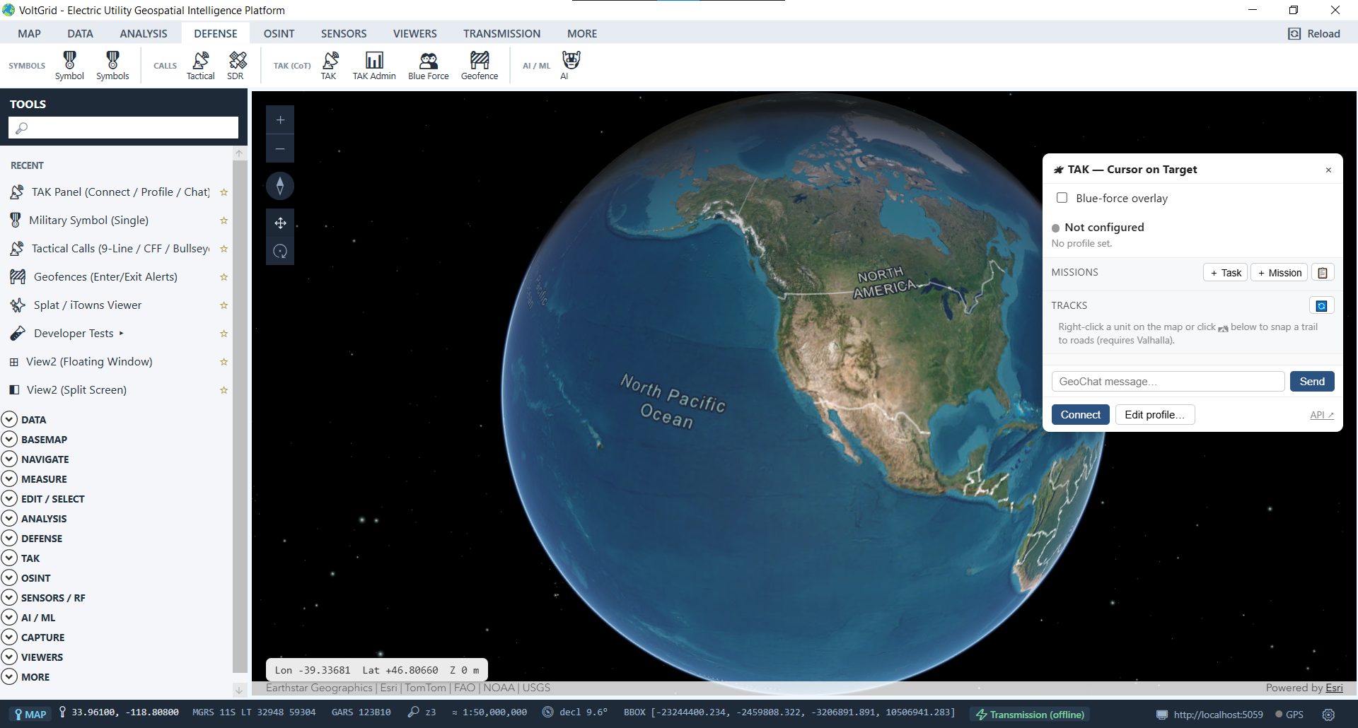
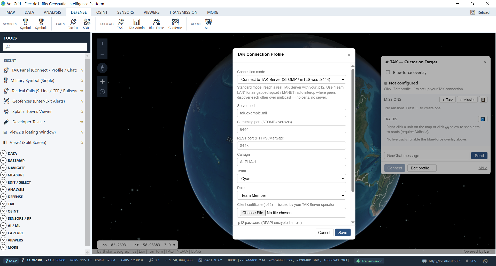
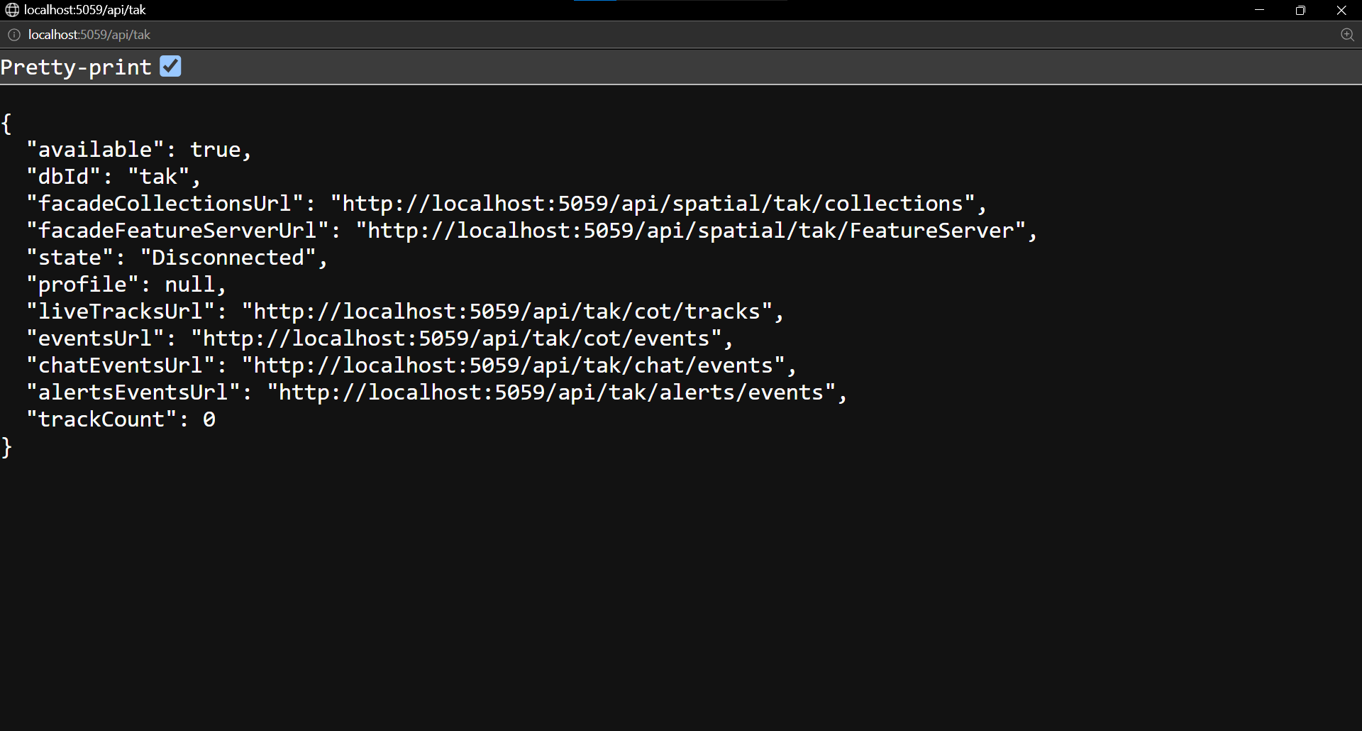
Many utility emergency-ops teams already run TAK. A full TAK client lives inside the same 3D scene as your corridors, substations, and damage imagery. Reach a TAK Server over STOMP mTLS-wss, or drop to UDP multicast on a disconnected LAN when the storm takes communications down — crew-tracking overlay, GeoChat, tasking, and alerts either way. When the network is gone entirely, data packages move the picture by hand.
Most TAK integrations assume a server. VoltGrid speaks both dialects: STOMP over mutually-authenticated TLS WebSockets to a TAK Server, and plain UDP multicast for an EOC or staging-area LAN with no backhaul at all — the exact condition a major storm creates.
.zip with manifest.xml + contents/cot.xml for disconnected sharing between EOC and field.// two ways onto the coordination net > connect stomp mTLS-wss → TAK Server > connect udp-multicast → LAN, no backhaul // disconnected sharing — data package mission_package.zip ├─ manifest.xml └─ contents/cot.xml ● crew-tracking overlay · GeoChat · tasking · alerts GEOFENCE ENTER — track crossed alert zone
In-map TAK situational awareness widget and PKI client certificate configuration for TAK Server connectivity.
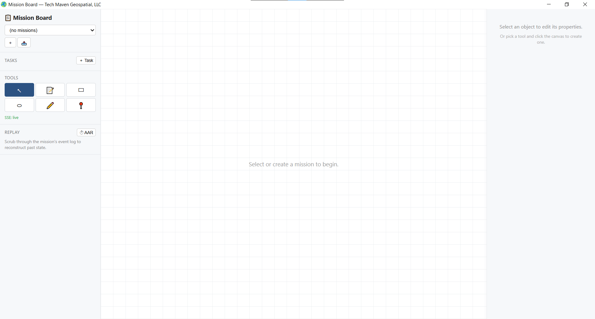
The Mission Board turns TAK missions into a working surface for storm response: tasks, a shared canvas, and a full after-action replay — all tied to the map.
Kanban-style task management for TAK missions — drag-and-drop workflow with direct map integration, so a damage-assessment task card and the structure it points at stay linked.
A shared drawing surface with select, sticky, rectangle, ellipse, pen, and pin tools — sketch the restoration plan where the whole storm room sees it.
Scrub through operation events on a timeline for after-action review — watch the restoration unfold again, in order, on the same map.
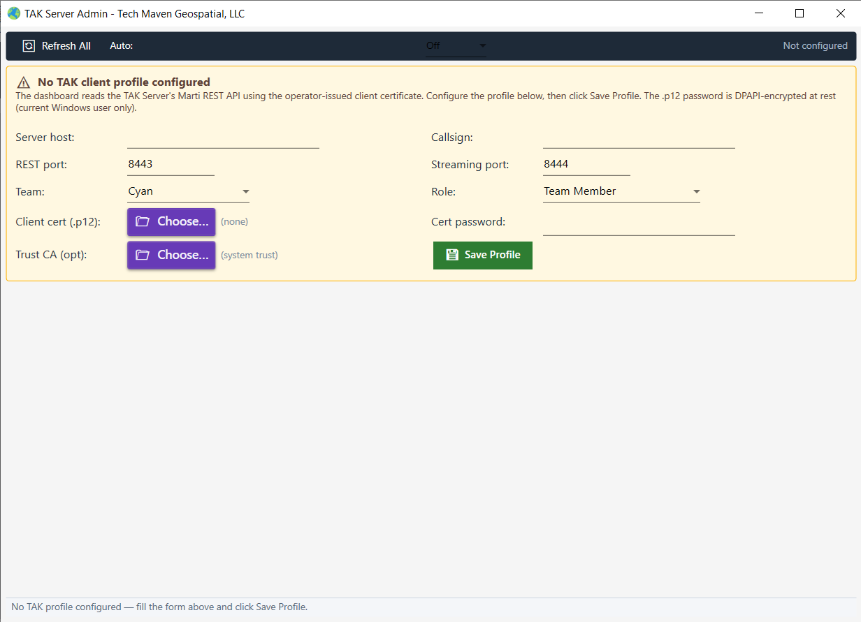
Administer your TAK Server from inside the operating picture via the built-in Marti REST proxy dashboard — no separate browser session required.
Export and import operations as standard .zip packages carrying manifest.xml and CoT events — the sneakernet path when crews are beyond coverage.
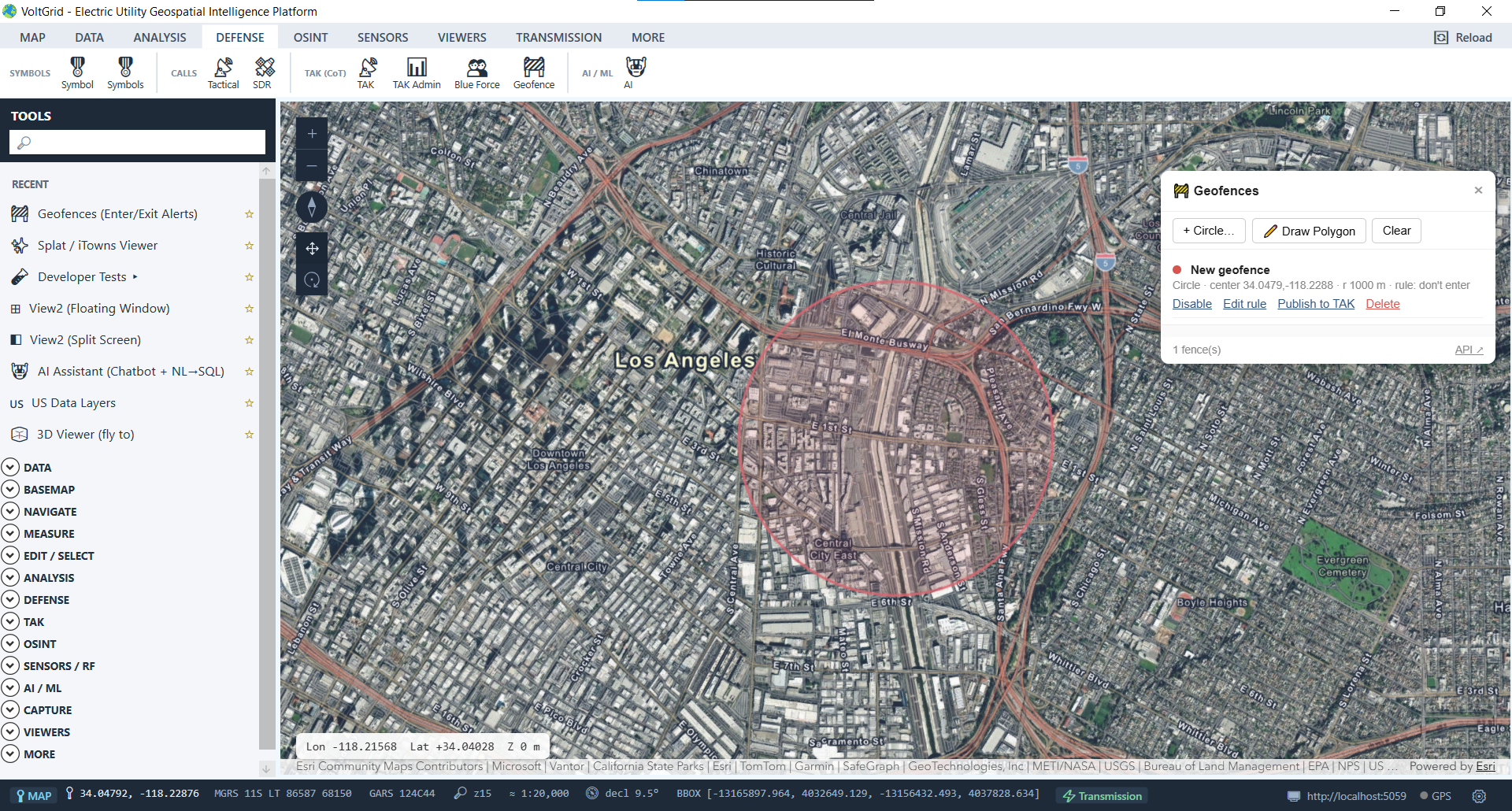
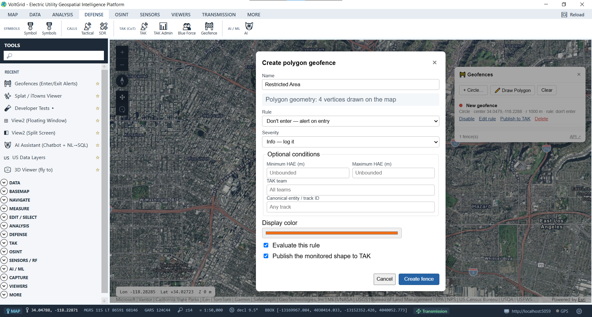
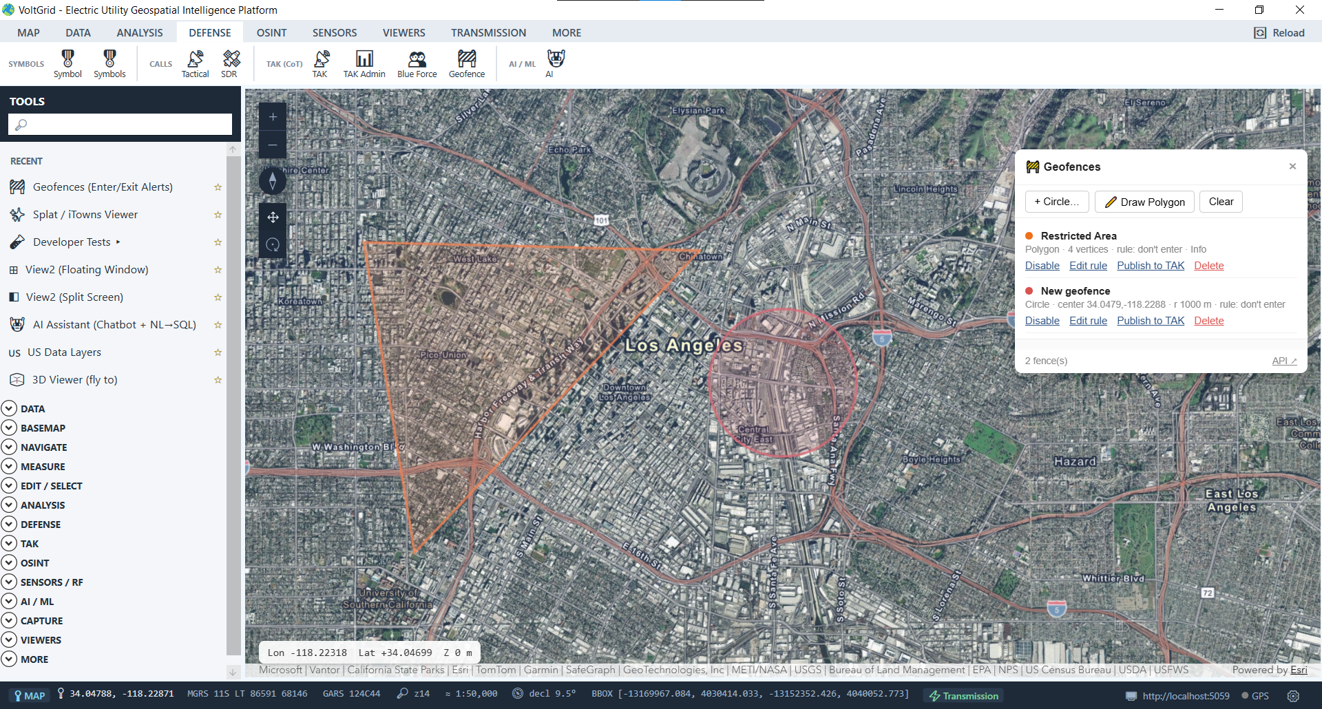
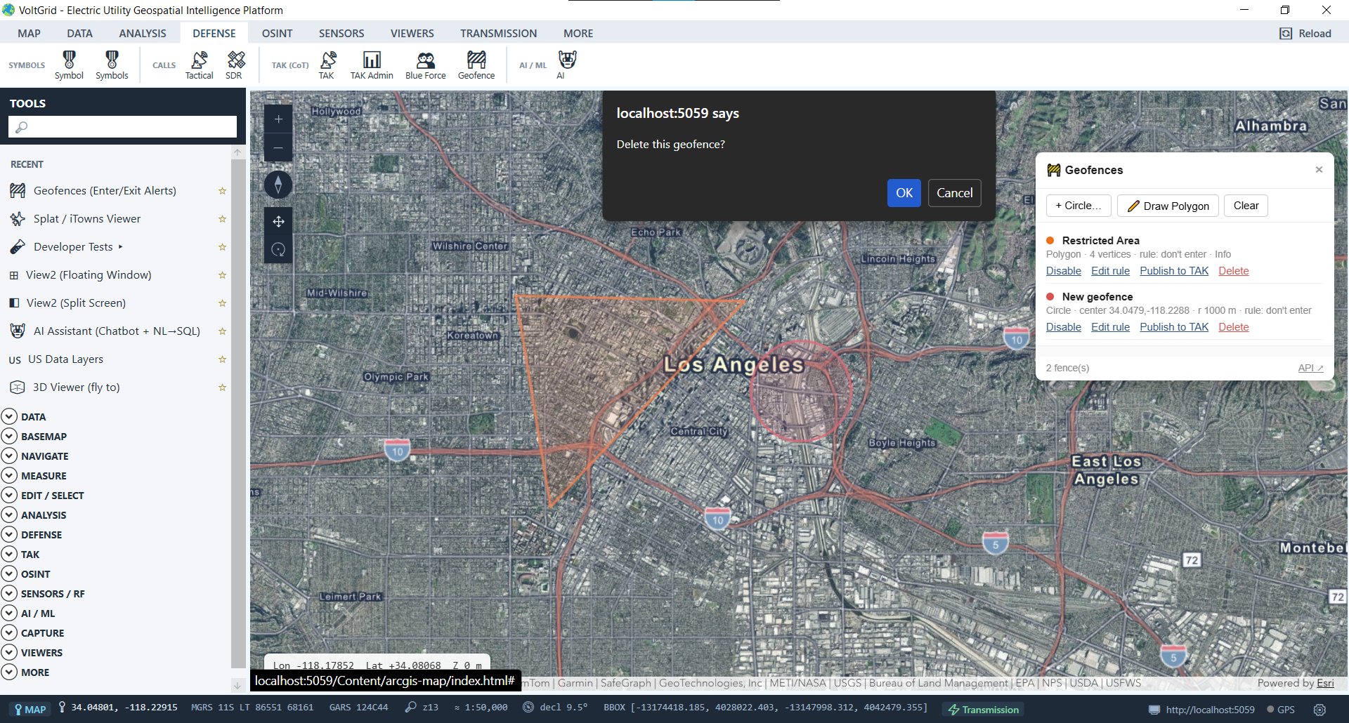
Define alert zones and get enter/exit alerts as crew tracks cross them — perimeter awareness around hazards and work zones without a dispatcher staring at the screen.
Interactive in-map geofence manager displaying circular buffers and custom multi-vertex polygon fences for field team monitoring.
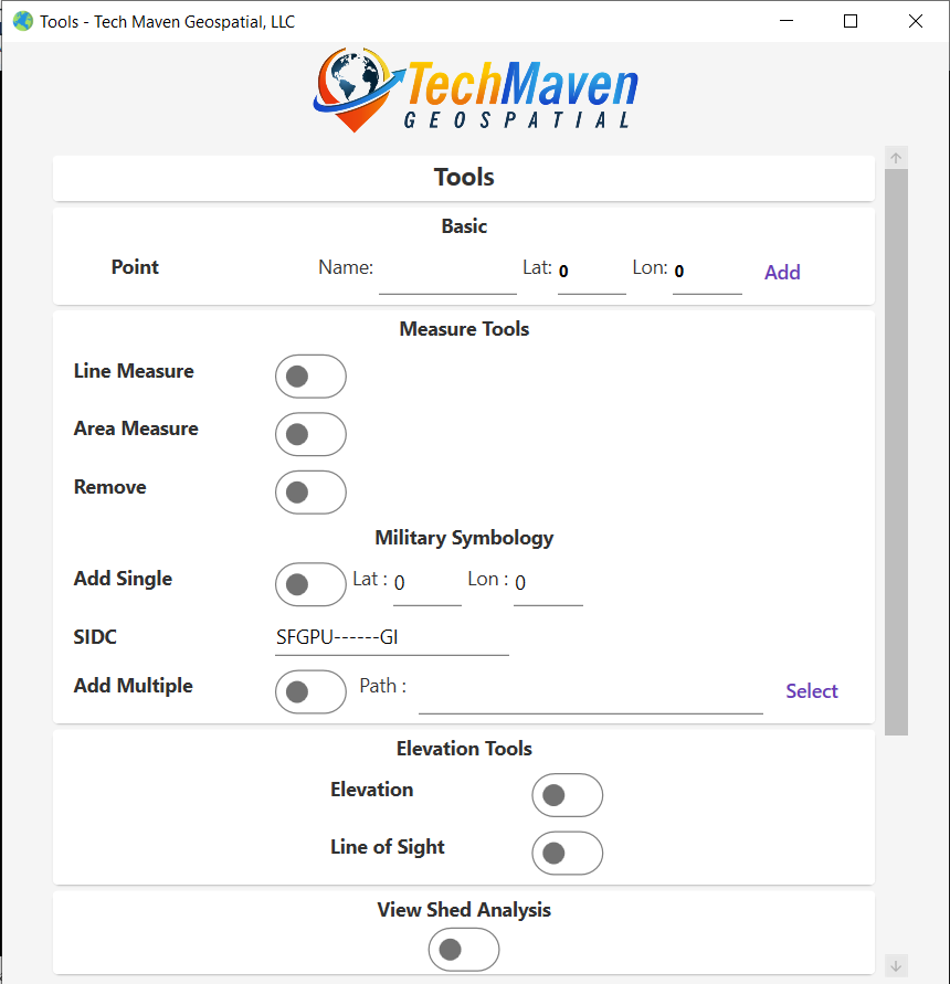
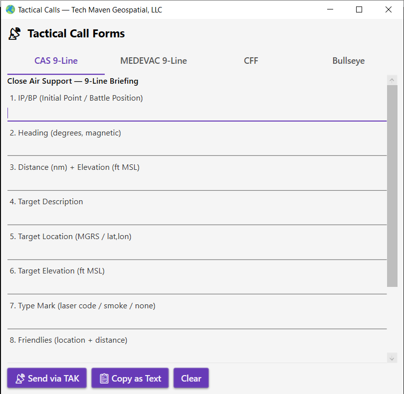
The symbol sets mutual-assistance partners and public-safety agencies recognize, and structured map-referenced reporting — built in, not bolted on.
Crews, feeds, damage imagery, terrain analysis, and tasking in one desktop operating picture — connected to a TAK Server or fully off-backhaul on multicast. Pairs with GRID State, so the structures crews report against are the utility's assets of record.
