From photogrammetric substation meshes to photoreal splats, corridor LiDAR, and streaming terrain — one desktop, every major 3D format, with camera sync across views. The living 3D context for the assets your utility already tracks.
A native reader serves ESRI Scene Layer Packages directly to ArcGIS SceneView — IntegratedMesh, 3DObject, and Point scene layers for substation and territory models. Supports I3S 1.6 / 1.7 / 1.8.
A synced high-performance window renders splats (.ply/.splat/.ksplat/.spz/.rad) via Spark — photoreal substation and structure captures, with camera sync between the main SceneView and the viewer.
Hierarchical, streaming 3D content via iTowns — for massive corridor photogrammetry and service-territory building models.
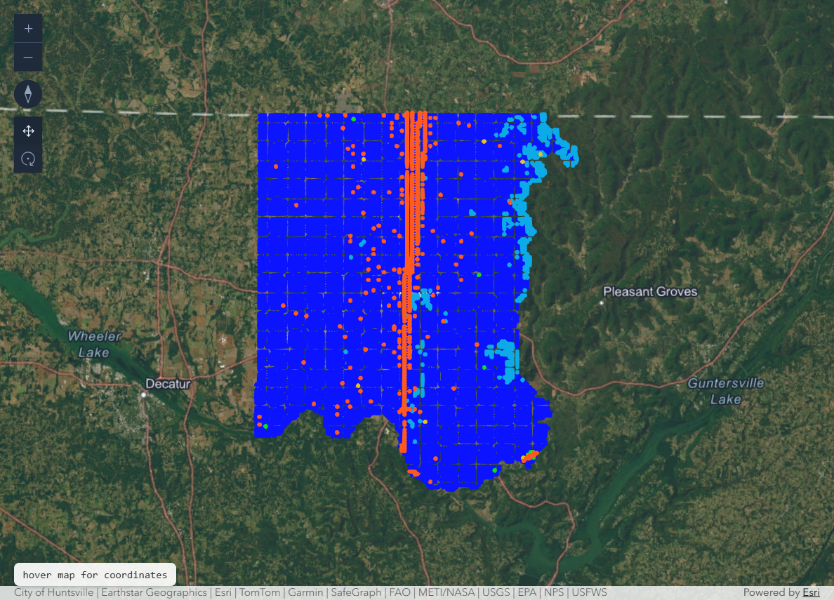
A high-performance point-cloud engine converts LAS 1.2/1.4, LAZ (laz-perf), and COPC — your line and ROW scans — into I3S point-cloud SLPK with LEPCC encoding and octree LOD.
Watch it run →Any GeoTIFF — post-storm orthos, corridor imagery — streamed to an ArcGIS ImageryTileLayer via HTTP range requests, no pre-conversion.
Terrain, exaggeration, lighting, shadows, atmosphere, and fog — full control of the scene environment for planning reviews and briefings.
One pass on the desktop: open tiny.copc.laz, cast it to an I3S point-cloud SLPK, and add it to the map as a layer. No upload, no cloud service, no separate conversion tool.
tiny.copc.laz opened, cast to SLPK, added to the map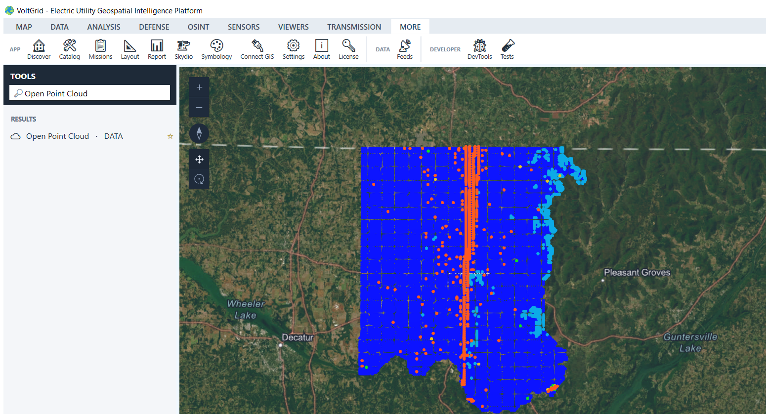
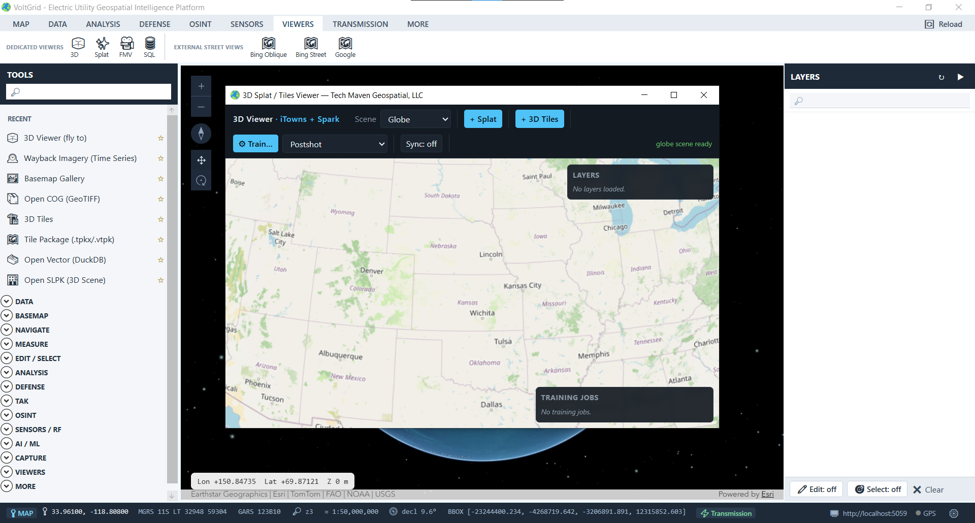
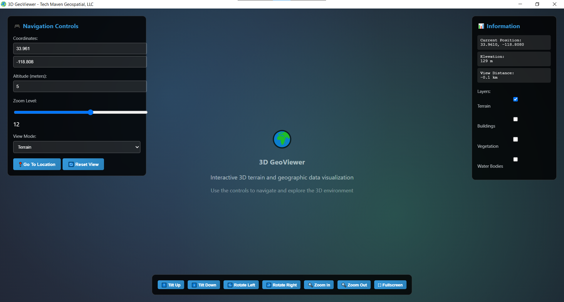
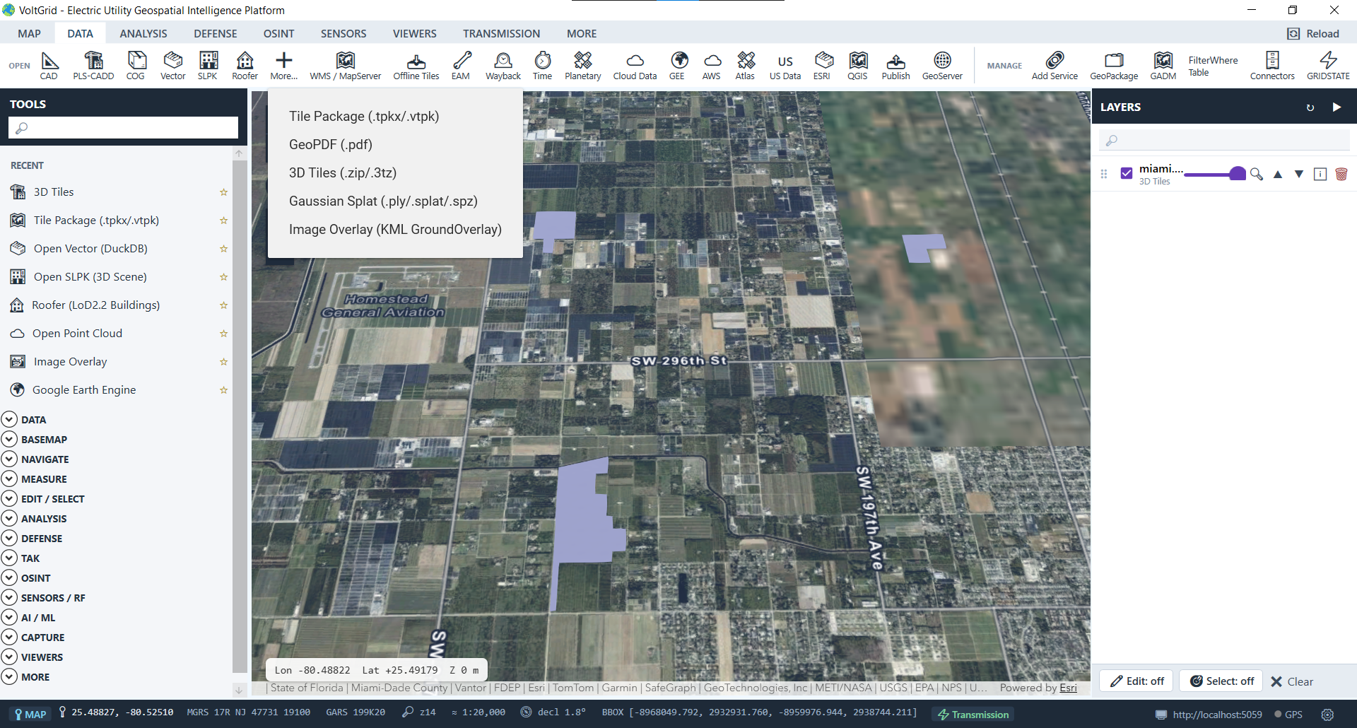
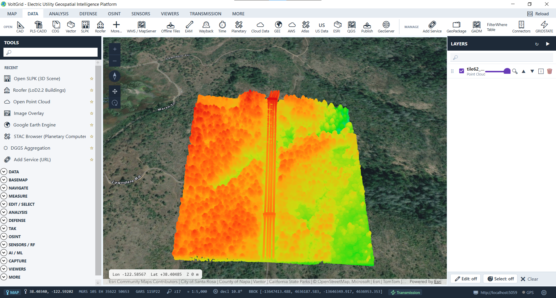
All 3D libraries are vendored locally, so the experience works identically on air-gapped OT networks and in storm ops with no backhaul.
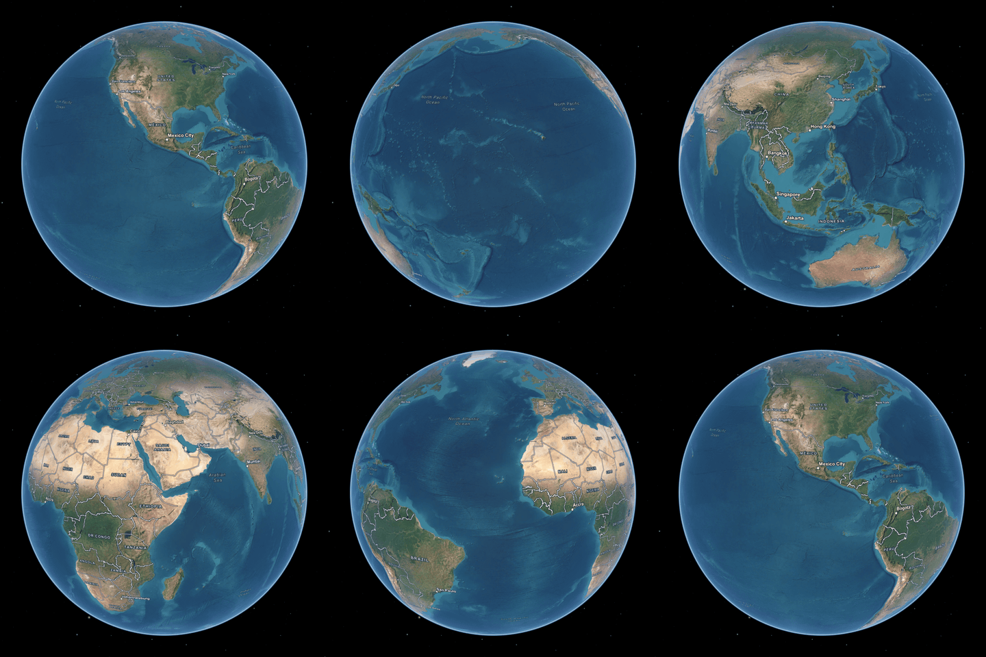
Meshes, splats, point clouds, terrain, and imagery — your substations, corridors, and feeders together on one map.
