Bring a PLS-CADD engineering export onto the map as two FeatureLayers — structures (poles and towers, as POINTs) and conductors (the wire spans between them, as LINESTRINGs) — served through the in-process DuckDB hub, and round-trip the result back to GPKG, GeoJSON, FileGDB, or PostGIS. No more fighting PLS-CADD's coordinate system or hand-mapping structures in ArcGIS.
A transmission engineer exports a structure-coordinate report from PLS-CADD in the project's planimetric CRS (typically a NAD83 / State Plane zone). VoltGrid parses the XML, optionally enriches geometry from the matching KMZ, reprojects to WGS84, and stages both layers into the DuckDB hub — all in-process, no external dependencies for the common case.
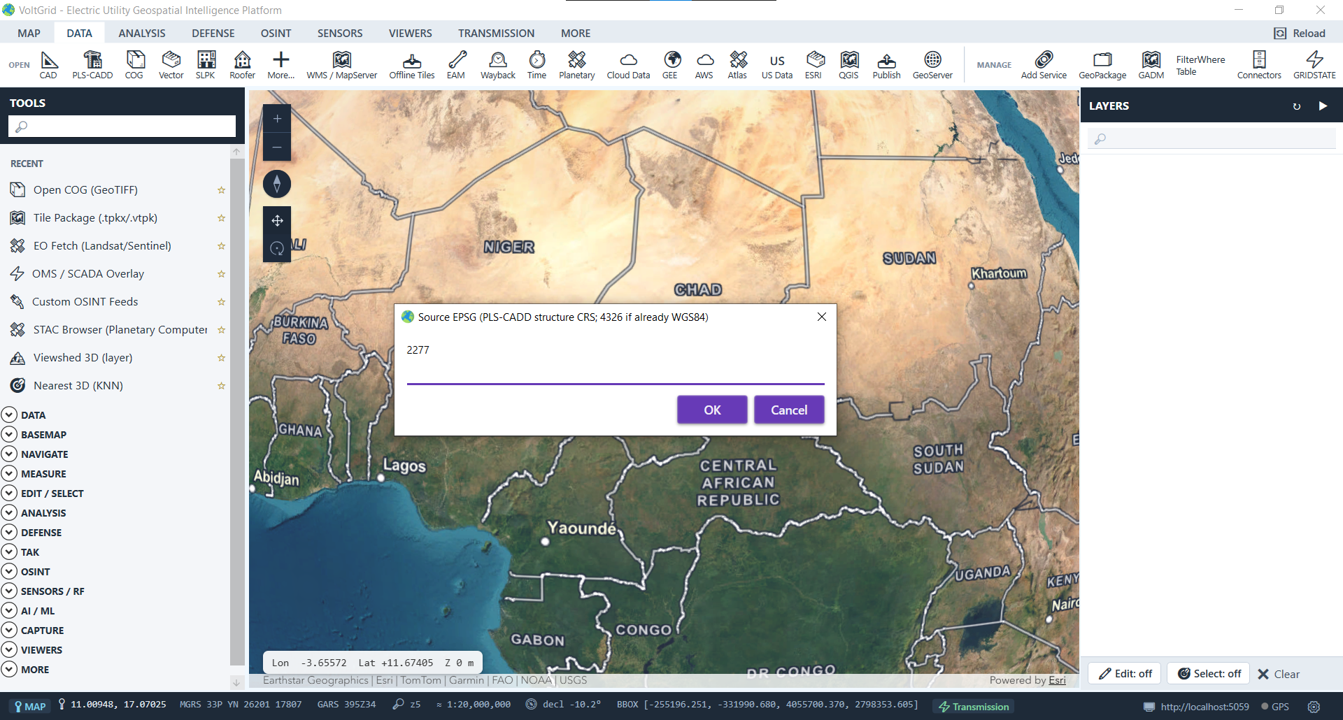
/FeatureServer/0 = conductors, /FeatureServer/1 = structures — every time, in that order.{ error, detail } 400 response, never a 500.// PLS-CADD XML + KMZ → structures + conductors fields: xml = transmission-line.xml // required kmz = transmission-line.kmz // optional enrichment sourceSrid = 2277 // NAD83 / Texas Central ftUS targetSrid = 4326 // WGS84 → 200 OK { "id": "a1b2c3d4", "structureCount": 142, "conductorCount": 287, "dbId": "plscadd_a1b2c3d4", "urls": { "featureServer": "/api/spatial/plscadd_a1b2c3d4/FeatureServer/0" } }
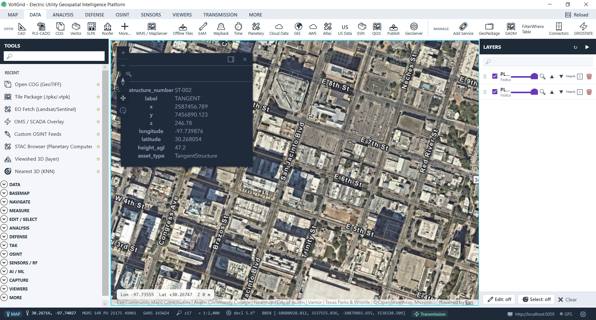
Every export rehydrates the staged structures + conductors from the DuckDB hub and dispatches to the right writer. Pick what your GIS team needs — VoltGrid never asks you to flatten the model.
Always available. ESRI-schema GeoPackage — StructureJunction (POINT) + ElectricLine (LINESTRING), EPSG:4326. Opens in QGIS, ArcGIS Pro, and the in-app GeoPackage Manager.
Always available. WGS84 FeatureCollection of structures + conductors. Drop straight into Leaflet, Mapbox, or any GeoJSON consumer.
Capability-gated. ESRI FileGDB with the same StructureJunction + ElectricLine schema, zipped for transport. Returns 503 + install hint if the OGR FileGDB driver isn't registered.
Caller-supplied connection. Writes structures + conductors tables to your PostGIS database. Optional schema override (default public).
PLS-CADD's structure-coordinate report carries projected x/y columns in the project's planimetric CRS — not lon/lat. Pick the source EPSG that matches the engineer's export and VoltGrid handles the reprojection.
| Source EPSG | CRS | When to use |
|---|---|---|
| 2277 | NAD83 / Texas Central ftUS | The default. Most US utility PLS-CADD exports ship in this CRS. |
| 4326 | WGS84 lon/lat | The export is already lon/lat (rare for raw PLS-CADD; common if re-exported through GIS). |
| 2275–2286 | Other NAD83 State Plane zones | Match the project's State Plane zone (Texas North, South, etc.). |
| 269xx | UTM NAD83 (meters) | Match the project's UTM zone. |
Override per-request via the sourceSrid form field; default configurable in appsettings.json via PlsCadd:DefaultSourceSrid.
Once your structures and conductors are on the map, the Transmission Line Analyzer picks them up for sag-tension, NESC clearance, NERC FAC-003 vegetation, and IEEE 516 live-line work clearances.
