An embedded local server turns every VoltGrid installation into a lightweight, multi-protocol geospatial server — sharing corridor, substation, and network data across the ops-center LAN in seconds, fully air-gapped for OT environments and storm operations with no backhaul.
No server rack. No dedicated IT. No cloud bill. The same process that renders your transmission corridors and substations also serves them to everyone in the storm room.
// embedded server · air-gapped
GET /api/features            → OGC datasets
GET /tiles/{z}/{x}/{y}.png   → raster tiles
GET /vectors/{z}/{x}/{y}.pbf → vector tiles
GET /cog/tiles/…             → COG range-stream
GET /api/featureserver/{ds}  → ESRI FeatureServer
GET /tms/                    → Cesium raster overlay
GET /api/terrain/{id}/layer.json → Cesium terrain
GET /wmts                    → ArcGIS Maps SDK

● serving  on 192.168.1.24:5059
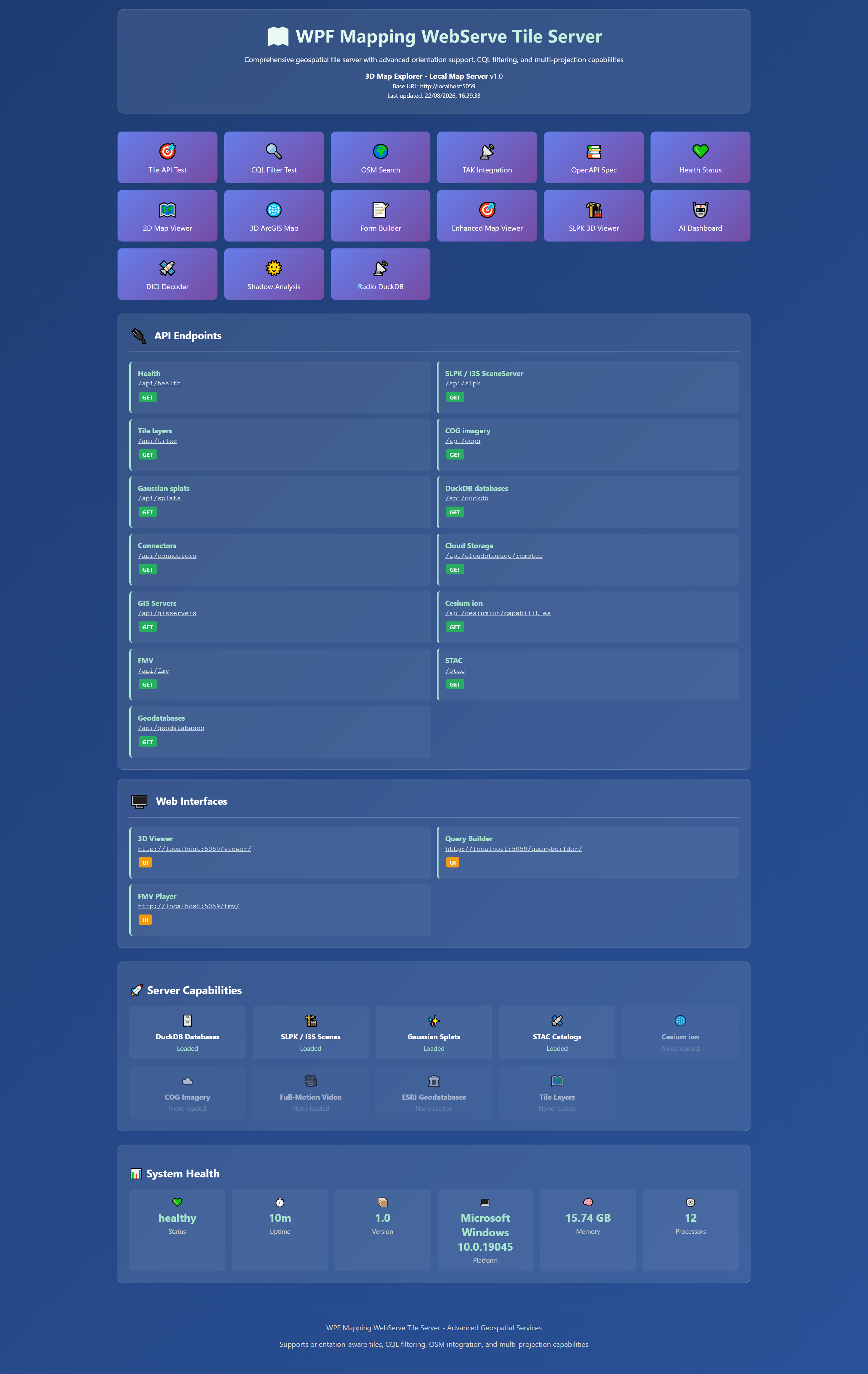
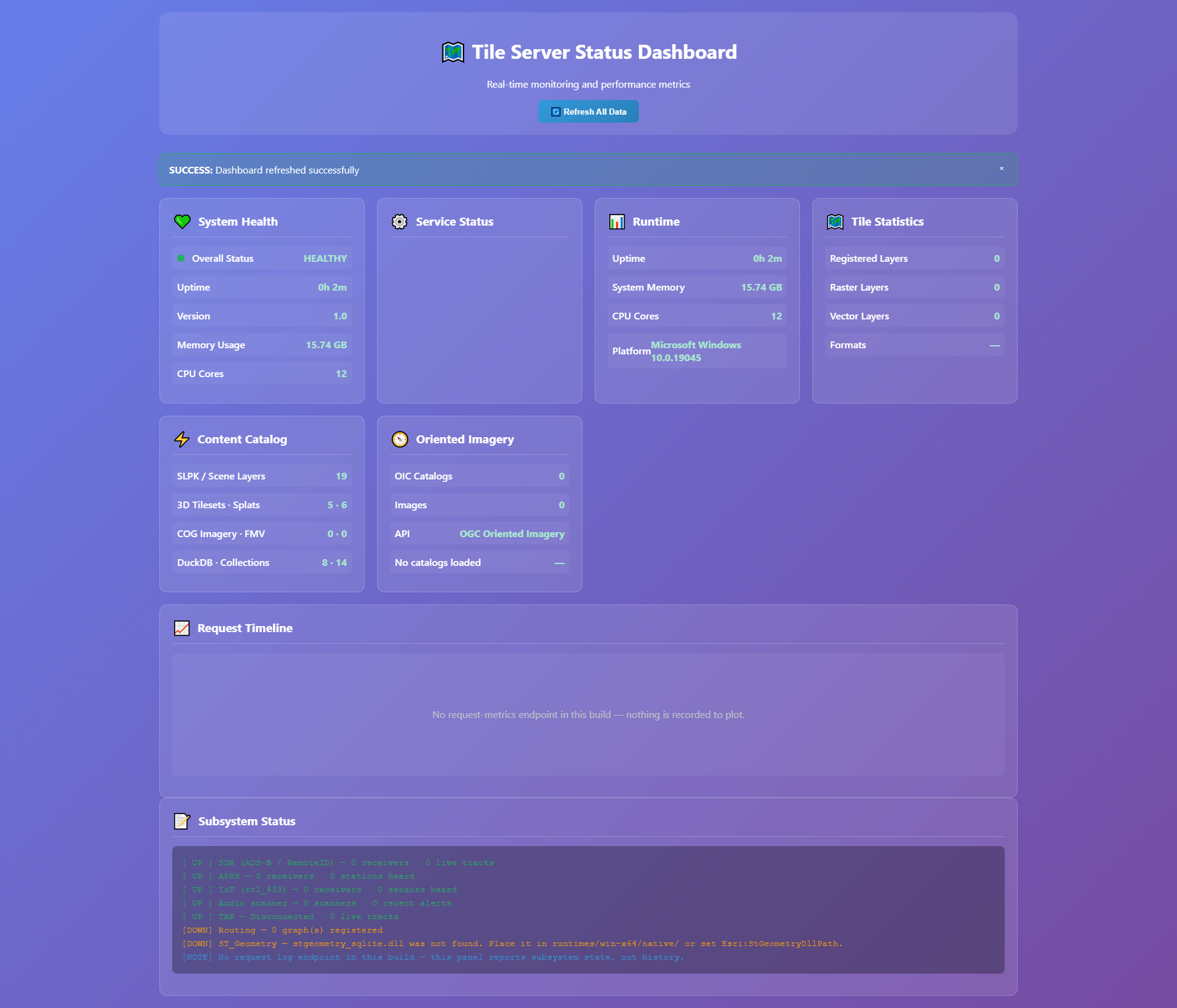
From browser viewers to ArcGIS Pro to game engines — one server, every dialect your GIS team, engineering group, and consultants already speak. See the game-engine server deep-dive for Cesium / Unreal / Unity / Godot terrain & elevation.
Modern RESTful feature API — the open standard adopted across the industry.
FeatureServer / ImageServer / StreamServer-compatible endpoints for ArcGIS clients.
OGC 3D Tiles streaming for massive 3D content — substation twins and corridor scenes across the network.
PBF vector tiles for fast, crisp rendering of feeders and network features at every zoom.
Cloud-Optimized GeoTIFF served via HTTP range requests — no conversion.
ST_AsMVT and spatial analytics served directly from the host.
OGC WMTS 1.0.0 (GoogleMapsCompatible) and OSGeo TMS XML — single-URL auto-discovery for QGIS, ArcGIS Maps SDK, and Cesium raster overlays.
Upload a DEM (GeoTIFF / DTED / SRTM HGT / FLT / ASC) and Cesium's CesiumTerrainProvider consumes the on-demand-generated .terrain tiles + layer.json.
REST facade for ArcGISImageTiledLayer and LERC-encoded ArcGISTiledElevationSource — drop-in for ArcGIS Maps SDK for Unreal & Unity.
One /api/game/assets.json endpoint lists every layer with ready-to-use URL templates — Godot, Unity, and Unreal HTTP clients discover everything in one fetch.
Grid data never leaves the boundary you define.
Runs entirely offline — ideal for segmented OT networks, regulated utility environments, and remote sites with no connectivity.
No cloud sync, no external transfer, no recurring subscription costs.
Distributed by nature — any laptop in the EOC becomes a server. No single point of failure when the storm takes infrastructure down.
* Comparative deployment-time and cost claims are illustrative planning targets — see ROI page.
Deploy the desktop, flip the switch, and your GIS team, engineers, and storm room are sharing live grid data. VoltGrid works operationally with GRID State — the utility's operational records, in living geospatial 3D context.
