When the storm rolls in, fuse live operational feeds — weather, seismic events, aircraft, vessels, field radios, crew positions, and IoT — into a single real-time picture of your service territory.
Live seismic events streamed straight onto the map with magnitude and depth — first triage for substations and structures near the epicenter.
Real-time weather, alerts, and radar integrated with your operating picture — watch the front cross your feeders before the calls start.
Live aircraft positions and tracks for airspace awareness around patrol flights and drone inspection operations.
Maritime vessel tracking via the Automatic Identification System — awareness where lines and cables cross navigable water.
Amateur-radio position reporting for the volunteer and emergency networks that mobilize during storm response.
Connect operator-owned LoRa mesh nodes via the built-in MQTT transport for off-grid position telemetry with no cell or internet.
Full Cursor-on-Target (CoT) compatibility with ATAK / WinTAK / iTAK — the crew-tracking backbone many utility emergency-ops teams already run.
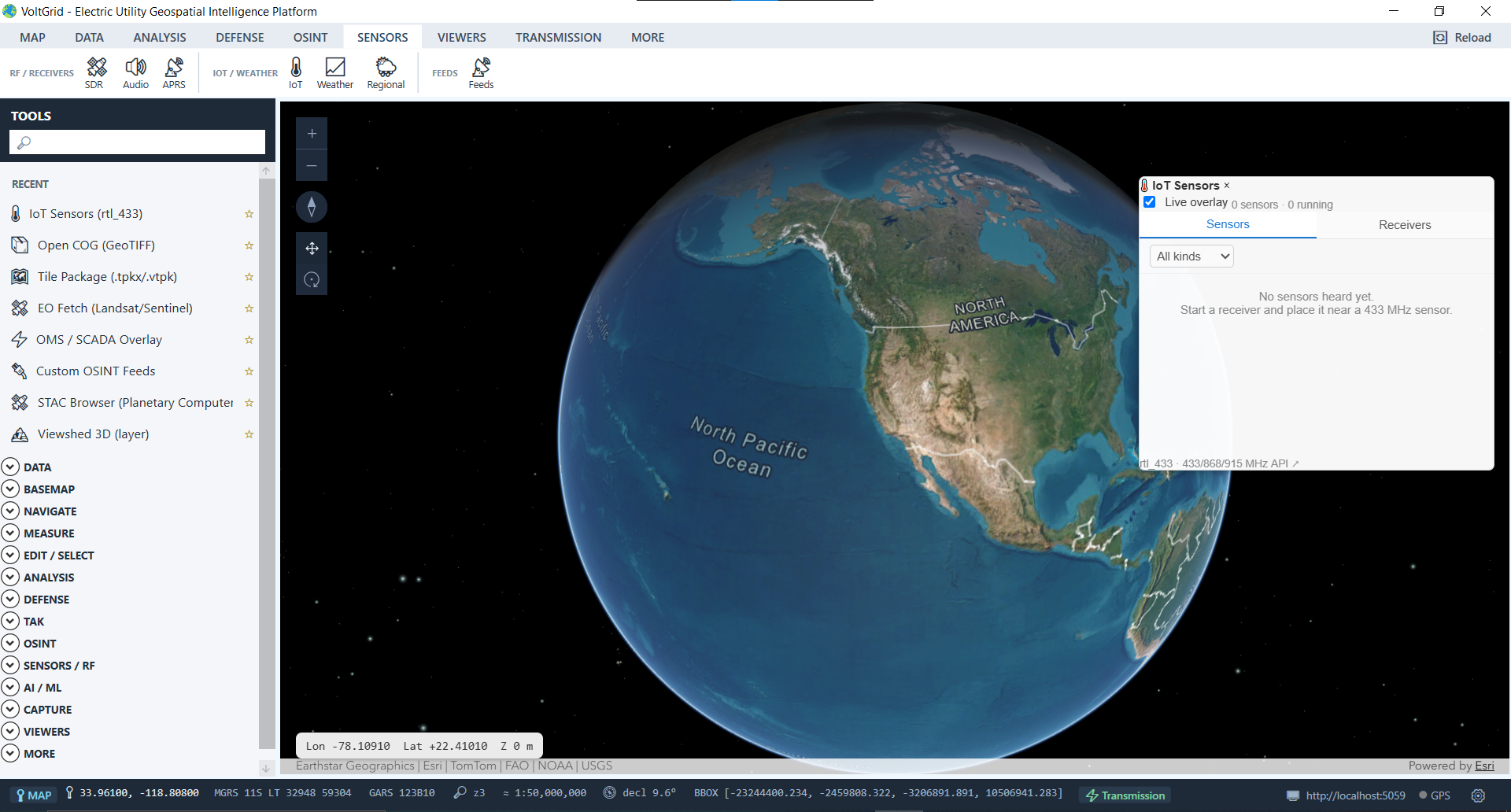
Connect weather stations, telemetry, and custom device streams from across the territory.
DuckDB-powered streaming analytics over radio and geospatial data.
ADS-B & RemoteID drones, AIS via SDR, APRS RF, scanner audio, and rtl_433 IoT — the full passive-RF picture. Deep-dive →
ASTERIX CAT-048 tracks with Track Table, CPA, velocity vectors, and squawk alerting. Deep-dive →
Crew-tracking overlay, GeoChat, tasking, geofencing — connected or air-gapped. Deep-dive →
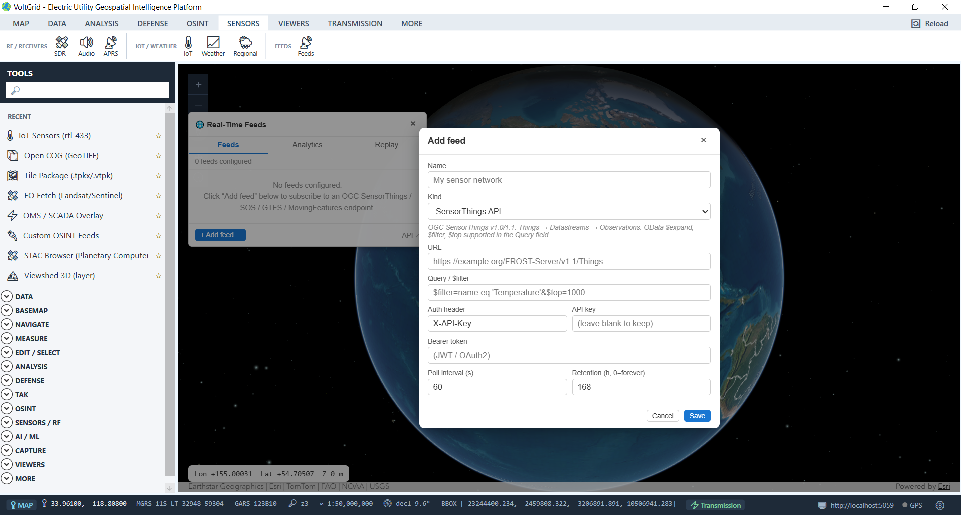
GNSS integration, on-demand admin boundaries, and replayable feed history turn the map into the storm room's common operating picture — and it pairs with GRID State, so the assets crews are rolling to are the same assets the utility manages.
Direct receiver integration for precise positioning, including RTK correction workflows for survey-grade field work.
On-demand Country / Admin-1 / Admin-2 breakdown for the map center — fully offline after a one-time per-country download, with a persistent status-bar admin chip.
Feed subscriptions keep DuckDB-backed history — scrub back through vehicle and crew trajectories for the after-action review instead of losing them to the moment.
